


Articles
The Most Popular MawisTools Tools in 2026
Searching for affected parcels and converting JVF to DGN are the most frequently used MawisTools tools in 2026.

How do I obtain a record identifier in the Digital Technical Map?
It is now mandatory to provide the Digital Technical Map record identifier when applying for a building occupancy permit. We can help you with this.

MAWIS Service Integration – Complete Overview of Requests
In the MawisGeoportal environment, you can track the status of all requests submitted by an applicant in the MawisUtility application (this information is transferred automatically).
Property records are used to manage the assets of each municipality
MawisPasport helps with planning investments, maintenance, and financing, and makes it possible to simplify and streamline the management of municipal assets.

Notice: Change to the MAWIS registration process, April 29–30
The transition to the new login method will take place on April 29. You will now use your email address. Please check your account.
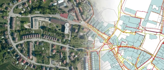
Digital Technical Map and MAWIS Services – Potential for Construction, Management, and Maintenance
MAWIS's digital services, in conjunction with the Digital Technical Map, support the construction process in the Czech Republic.

A Green Passport for Your Community
Get an overview of green spaces and green infrastructure elements. A green space inventory is an important tool for the effective management of public spaces and maintenance planning.

Changes to the MAWIS Application Process – What to Expect and How to Prepare
We are preparing to switch to a new login method. You will now use your email address. Find out what this means for your account.

Local Road Inventory for Your Municipality
We can help you create and update a local road inventory that lists all roads, paths, bridges, and other elements defined by Decree No. 104/1997 Coll.

Map application to support the construction of linear infrastructure
A mapping platform that consolidates design, construction, and inspection data throughout linear construction projects.
MawisUtility – DTM integration and other new features in the app
Key features of MawisUtility – integration with the Digital Technical Map – overview of submitted requests and responses in MawisGeoportal.

Changes to MAWIS Services Effective January 1, 2026
The new year brings several changes to MAWIS’s services. Below is a summary of the most important ones.


