


Articles
MawisGeoportal – Summer News for 2026
Printing up to A0, export to JPEG, 3D help, and faster record management. An overview of the summer 2026 updates to Geoportal.
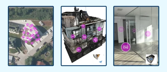
MawisGeoportal integrates a full-featured 3D viewer
A new 3D viewer fully integrated into MawisGeoportal. No separate tools—the customer’s 2D and 3D data are all in one place and available online.
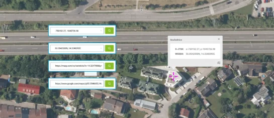
Search by Entering Geographic Coordinates
MawisGeoportal expands search capabilities using WGS 84 or S-JTSK geographic coordinates and links from other applications.
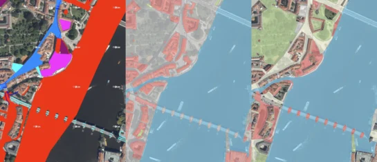
New KN Thematic Maps – Easements, Land Categories, and Land Use
Three new thematic map layers from the Cadastral Register (KN) are now available on the Geoportal: easements, land categories, and land use.

Map application to support the construction of linear infrastructure
A mapping platform that consolidates design, construction, and inspection data throughout linear construction projects.

MawisPasport – Effective Management and Maintenance of Green Spaces
Get an overview of green spaces and green infrastructure elements. A green space inventory is an important tool for the effective management of public spaces and maintenance planning.
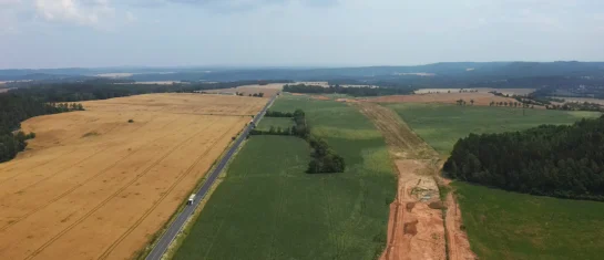
MawisGeoportal as a tool for monitoring construction progress
An application for the construction of highway sections or the renovation of railway lines. It is suitable for linear construction projects, real estate development projects, and smaller construction projects.
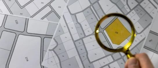
Land Registry and Thematic Maps on the Geoportal
In addition to cadastral maps, the Land Registry module offers parcel searches, integration with other registries, and the ability to import VFK files.
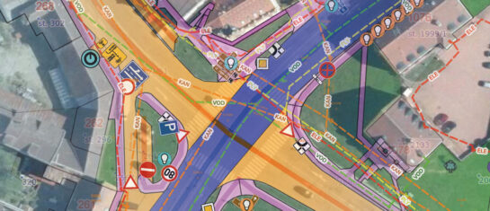
Custom Map – Create Your Own Map Layer
The Geoportal now offers custom map layers—create your own map layer tailored exactly to your needs.

Introducing a new feature in the Expression Support Module!
We have enhanced the Statement Support Module to allow statements to be sent to applicants directly from the Geoportal application.

MawisGeoportal – Winter Updates for 2025
Introducing the new features for winter 2025 in the MawisGeoportal app. We’re constantly improving it for you.
The Expression Support Module in the Geoportal
The Expression Support module is a new feature that allows users to efficiently process requests for statements regarding the existence of networks.


