


Articles

Merry Christmas and a Happy New Year 2026
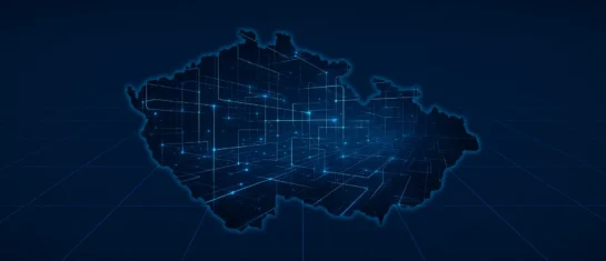
Universal Data Model: A New Standard for Geodata and GIS
It builds on the DTM regional maps, supplements them with cadastral data, and provides a unified framework for the exchange of spatial information among all entities.
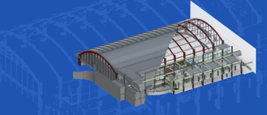
The BIM Act: A New Framework for the Digitalization of Construction
The law establishes an obligation to create and manage a building information model (BIM).

MawisPasport – Effective Management and Maintenance of Green Spaces
Get an overview of green spaces and green infrastructure elements. A green space inventory is an important tool for the effective management of public spaces and maintenance planning.

New conversion tools in MawisTools – JVF, DTM, DGN, SHP, DXF, and KML
The MawisTools library offers additional useful conversion tools for working with geodata and drawings.
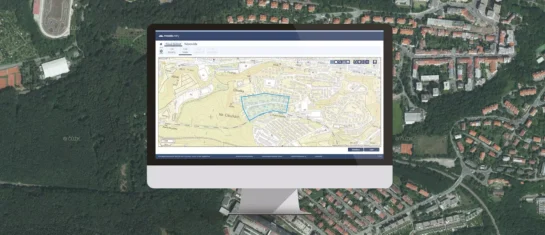
MawisUtility – 15 Years of Digital Support for Construction Management
MawisUtility was established in 2009 as a centralized platform for submitting requests for statements regarding the existence of utility networks throughout the Czech Republic.
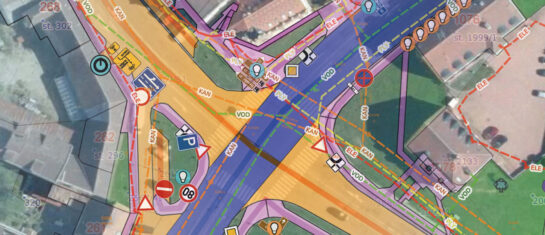
Mapping of Municipal Assets – Modern Management with Mawis
The MawisPasport service will help municipalities consolidate and digitize their records, making them accessible to anyone who needs them.
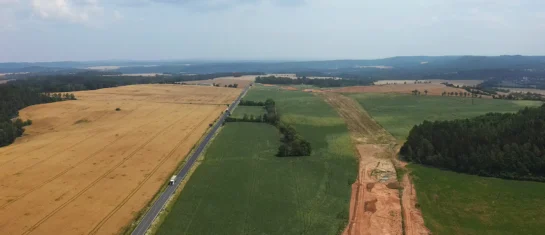
MawisGeoportal as a tool for monitoring construction progress
An application for the construction of highway sections or the renovation of railway lines. It is suitable for linear construction projects, real estate development projects, and smaller construction projects.
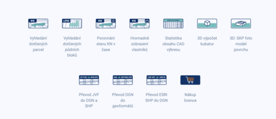
MawisTools – An advanced library of tools for surveyors, designers, and geoinformatics professionals
From searching for specific parcels to calculating volumes and converting data formats. Fast, online, and no installation required.
DTM ČR – A New Tool for Infrastructure Management and Planning
DTM consolidates previously fragmented data into a single digital model that can be used by both the public and private sectors.
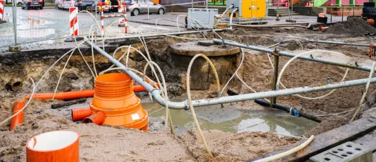
MawisUtility – A digital solution for bulk submission of requests for statements regarding the existence of utility networks
The app can identify all network operators in a given area at once and request their input on the proposed construction project simultaneously.

DTM ČR – Important Changes in Building Permits
A significant legislative change that will affect the building occupancy permit process and obligations related to the Digital Technical Map of the Czech Republic.


