MawisGeoportal
Record of the applicant’s requests
In the app, you can track the status of all applications submitted by an applicant and attach supporting documents to them.
In the MawisGeoportal – Application Tracking map application, you can track the status of all the applications you have submitted and attach the documents for each response.
- an overview of all requests for comments submitted via MawisUtility,
- tracking the status of requests (response received / request sent, etc.),
- graphical display of requests on a map (polygon of the area of interest),
- the ability to save comments received on specific requests.
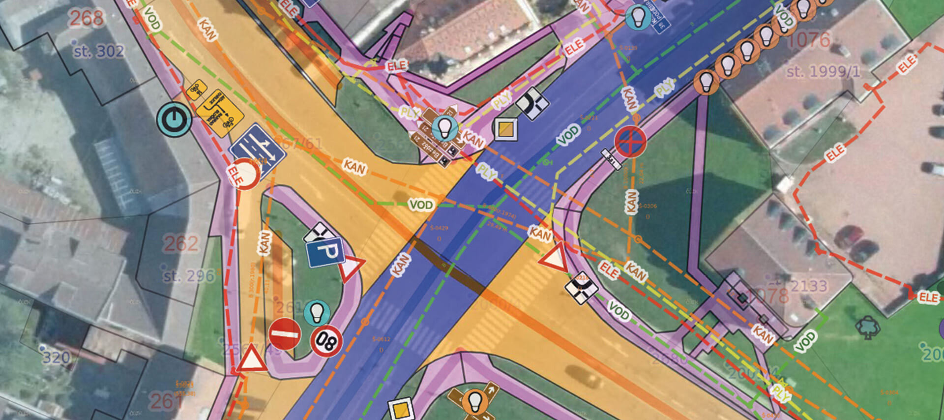
MawisGeoportal allows you to view requests overlaid on several base maps: orthophotos, base maps, the real estate cadastre, and the Digital Technical Map (DTM). The application also includes a viewer for drawings in a variety of geoformats (DGN, DWG, SHP, JVF DTM, and others).
Price List
The license will be activated within 3 business days of completing the order.
Record of Applications
3 990 Kč
per year, including VAT
I can help you with MAWIS services

Customer Service Center
Not sure what to do? Ask our experts.