


Articles

Preparation of a list of affected plots of land for the Builder’s Portal
Upload your area of interest; the tool will generate a list of the relevant plots and export it in a format suitable for uploading to the Builder’s Portal.

The Most Popular MawisTools Tools in 2026
Searching for affected parcels and converting JVF to DGN are the most frequently used MawisTools tools in 2026.

New conversion tools in MawisTools – JVF, DTM, DGN, SHP, DXF, and KML
The MawisTools library offers additional useful conversion tools for working with geodata and drawings.
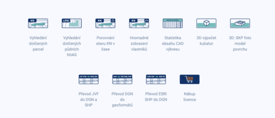
MawisTools – An advanced library of tools for surveyors, designers, and geoinformatics professionals
From searching for specific parcels to calculating volumes and converting data formats. Fast, online, and no installation required.

Conversion of JVF DTM to DGN and SHP – the new MawisTools tool
The converter allows you to create a drawing in DGN/SHP formats from JVF DTM data, which you can view in your favorite application.
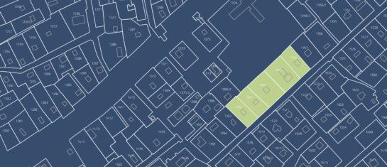
Search for affected parcels and their owners
MawisTools tools automate and streamline the process of locating relevant parcels, including ownership information.
The MAWIS Portal and Geomatics Tools
We are launching the new MAWIS library of geomatics tools. The first available feature is the search for relevant land parcels in the Real Estate Cadastre from RÚIAN.


