


Articles
MawisGeoportal – Summer News for 2026
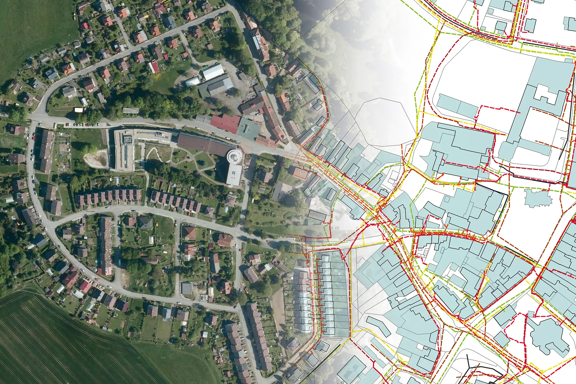
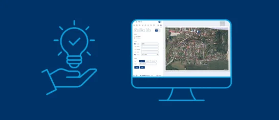
Printing up to A0, export to JPEG, 3D help, and faster record management. An overview of the summer 2026 updates to Geoportal.

You've uploaded the data to DTM. What's next for updating your networks?
Any changes to the networks must be surveyed by a surveyor and incorporated into the region’s DTM. We can help you update and upload the data.
MAWIS now supports English and Slovak
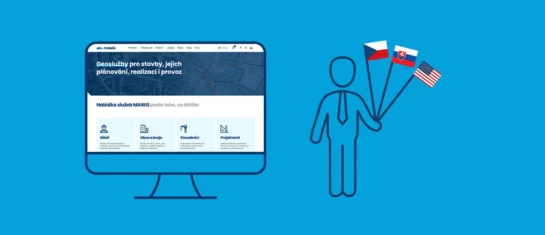
The MAWIS portal, as well as the MawisUtility and Mawis Geoportal applications, are now available in three languages. English and Slovak have been added to the existing Czech version.
MawisGeoportal integrates a full-featured 3D viewer
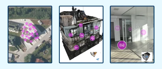
A new 3D viewer fully integrated into MawisGeoportal. No separate tools—the customer’s 2D and 3D data are all in one place and available online.
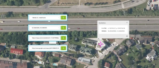
Search by Entering Geographic Coordinates
MawisGeoportal expands search capabilities using WGS 84 or S-JTSK geographic coordinates and links from other applications.
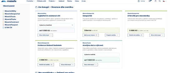
New online shop at mawis.eu – all services in one place
We've launched a new e-shop website that now brings together all the services available for order on Mawis.eu in one place.
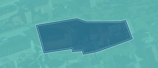
Preparation of a list of affected plots of land for the Builder’s Portal
Upload your area of interest; the tool will generate a list of the relevant plots and export it in a format suitable for uploading to the Builder’s Portal.

The cost of uploading data to the DTM – no surprises there
If you're looking into uploading data to DTM and want to know how much it will cost, it makes sense to start with the data itself, not the price list. Contact us, and we'll give you a fair price.
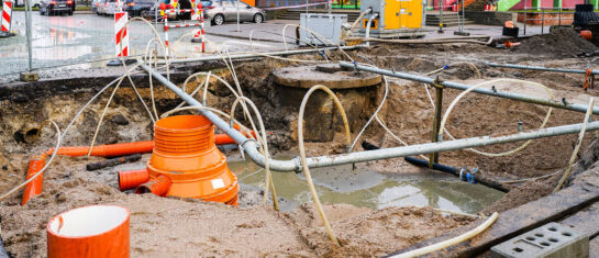
MawisUtility – 17 Years of Digital Support for Construction Management
For more than 17 years, a digital tool has been available that makes it significantly easier for builders and designers to submit requests for information regarding the presence of utility lines.
Handover without complications—we’ll handle the data entry into the Czech Republic’s Digital Terrain Model (DTM) for you
Are you finalizing the building inspection? We'll take care of entering the data into the DTM ČR and issuing the PGAD and EDTI identifiers for you.
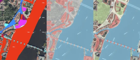
New KN Thematic Maps – Easements, Land Categories, and Land Use
Three new thematic map layers from the Cadastral Register (KN) are now available on the Geoportal: easements, land categories, and land use.

A Cemetery Guide for Your Community
We can create or update your cemetery inventory. Contact us and we’ll discuss the next steps.


