


MawisUtility – DTM integration and other new features in the app
Key features of MawisUtility – integration with the Digital Technical Map – overview of submitted requests and responses in MawisGeoportal.
MawisUtility is a system that streamlines the review of construction projects. It helps determine whether a planned project in a given area conflicts with existing technical infrastructure and, if so, how to resolve that conflict.
Three key features of MawisUtility:
- The key is the ability to identify the technical infrastructure managers in a given area. Without an accurate list of these entities, the consultation process cannot begin.
- MawisUtility uses the list it has obtained to contact the relevant parties in bulk, without the need to search for additional contacts or copy emails.
- It maintains a list of submitted requests. Thanks to MawisGeoportal, it allows users to track responses and, consequently, the status of a case.
1. Viewing the list of entities
After you specify the project area (such as a polygon on the map), the system will search for all relevant network operators. We use the following sources:
- Register of Technical Infrastructure Entities (RSTI) – MawisUtility’s proprietary database, which is continuously updated by technical infrastructure owners and operators in collaboration with our staff. This register is highly accurate in many areas and also includes smaller local operators.
- Digital Technical Map (DTM) – a new government project that aims to become the primary source of data. However, it is currently incomplete, particularly in smaller municipalities, where data from local technical infrastructure owners is missing.
MawisUtility combines both data sources. We supplement the RSTI database with DTM data in cases where the DTM data is more up-to-date and accurate. This provides users with the most comprehensive list possible of entities that need to be contacted.
2. Click to send a bulk message
Once the list of administrators is ready, MawisUtility allows you to send requests to most relevant entities electronically (either by direct entry into the entity’s IT system or via email). The integration of request submission systems into a single application is a unique feature of MawisUtility. Most administrators receive the request immediately. In some cases, there may be entities that accept requests by other means (by mail or in person); these must be handled individually. A request is generated for all entities.
3. Record-keeping of requests and responses in MawisGeoportal
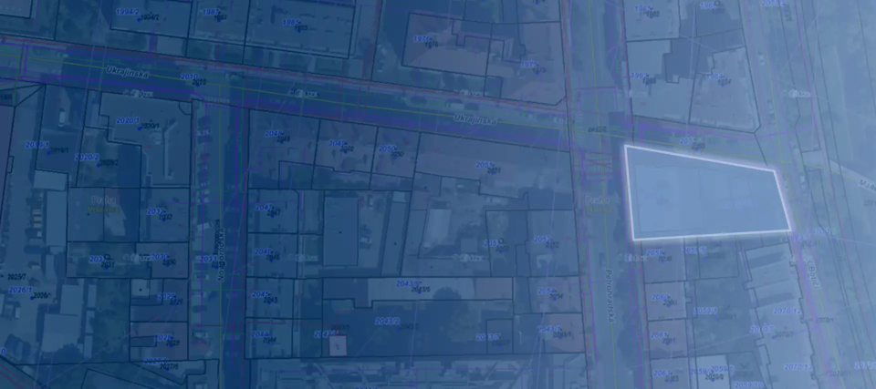
New this year: Within the MawisGeoportal environment, you can track the status of all applications submitted by an applicant in the MawisUtility application (data is transferred automatically). Each submission is displayed as a separate record, along with a map of the area, documents, and the option to add comments, including personal notes. This allows users to track the status of each project’s review as well as the history of their submissions.
MawisUtility and DTM – Digital Technical Maps of Regions
The Digital Technical Map (DTM) will likely become the primary source of information on technical infrastructure in the future. We take it seriously and are integrating its data into our system. But the reality is that the DTM is not yet complete everywhere. That is why we combine two sources: the Digital Technical Map and the Register of Technical Infrastructure Entities, which is more accurate and complete in many areas.
This ensures that the user always receives the most accurate list of entities that need to be contacted. And that is the first step toward successfully negotiating a construction project.
Combining two data sources, the ability to send bulk communications, and the tracking of responses results in significant time savings and fewer errors. Designers, investors, and building authorities all have a clear overview, and the entire process is more efficient.
MawisUtility – 17 Years of Digital Support for Construction Management
For more than 17 years, a digital tool has been available that makes it significantly easier for builders and designers to submit requests for information regarding the presence of utility lines.

MAWIS Service Integration – Complete Overview of Requests
In the MawisGeoportal environment, you can track the status of all requests submitted by an applicant in the MawisUtility application (this information is transferred automatically).
MawisUtility – 15 Years of Digital Support for Construction Management
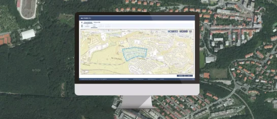
MawisUtility was established in 2009 as a centralized platform for submitting requests for statements regarding the existence of utility networks throughout the Czech Republic.


