


MawisGeoportal – Summer News for 2026
Printing up to A0, export to JPEG, 3D help, and faster record management. An overview of the summer 2026 updates to Geoportal.
The summer version of the Geoportal offers printing up to A0 size, map export to JPEG, help, new controls in the 3D view, and several changes to how records are handled. We have also expanded support for WMS services.
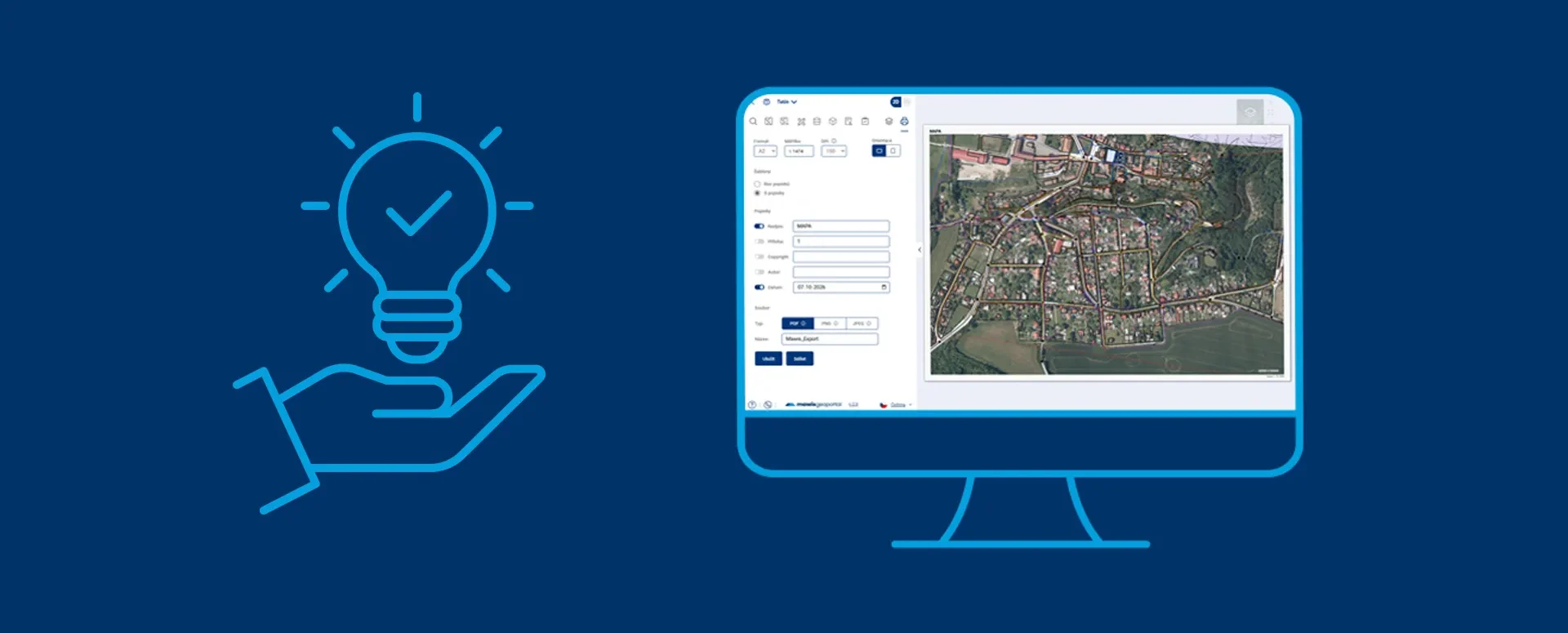
Printing up to A0 size
The map can now be printed in sizes up to A0, for example, for meetings or as a wall display. Large formats for the project are enabled by the Geoportal administrator. The printouts feature more legible labels and map elements.
You can now also save the map as a JPEG image, which you can insert into a document, presentation, or email.
3D View
In our previous article, we told you about the integration of a full-featured 3D viewer. Now, 3D navigation tips are available, and you can switch between 2D and 3D with a single button. If the markers for panoramic images get in the way while you’re viewing, you can hide them.
Records and Tables
- Field with a link to another record: Select a record by clicking on the map; you don't need to search for it in the list. After saving, the field displays the record's name, not its internal number.
- Selected records on the map: Select records in the table to display only those records on the map—for example, a single street or the results of a filter.
- Automatic numbering: When a record is created, the system automatically adds the next sequential or reference number.
Map Services (WMS)
The geoportal can now handle a larger number of external Web Map Services (WMS) from various providers. This makes the integration of data from other sources more reliable.
Further modifications
- You can now zoom in on uploaded PDF documents—such as drawings or site plans—right within the app to view even the smallest details.
- On a cell phone, when you open the app, the map appears in a way that makes the best use of the screen, so you don't have to scroll or zoom in right away.
You can find instructions for the new features in the Geoportal Help section. Please send any questions to info@mawis.eu or call +420 251 618 458.
Would you like to try out MawisGeoportal?
Call me on my cell phone or send me an email. I'd be happy to show you the geoportal.
Ladislav Bláha +420 724 863 431 | ladislav.blaha@hrdlicka.cz
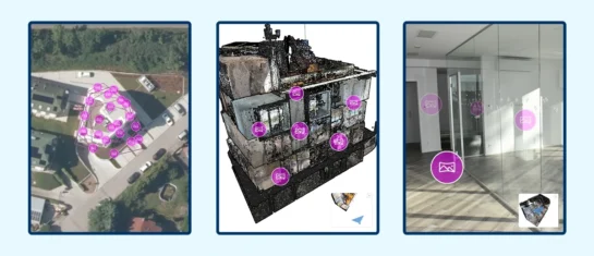
MawisGeoportal integrates a full-featured 3D viewer
A new 3D viewer fully integrated into MawisGeoportal. No separate tools—the customer’s 2D and 3D data are all in one place and available online.
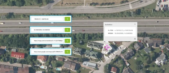
Search by Entering Geographic Coordinates
MawisGeoportal expands search capabilities using WGS 84 or S-JTSK geographic coordinates and links from other applications.
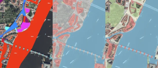
New KN Thematic Maps – Easements, Land Categories, and Land Use
Three new thematic map layers from the Cadastral Register (KN) are now available on the Geoportal: easements, land categories, and land use.


