


Articles
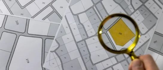
Land Registry and Thematic Maps on the Geoportal
In addition to cadastral maps, the Land Registry module offers parcel searches, integration with other registries, and the ability to import VFK files.
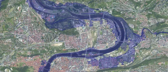
Orthophotos and floodplains – supporting documentation for statements regarding the existence of utility networks
Flood maps and orthophoto maps provide clear visual information, not only for assessing the existence of infrastructure networks, but also for construction and design work.
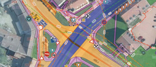
Custom Map – Create Your Own Map Layer
The Geoportal now offers custom map layers—create your own map layer tailored exactly to your needs.

Introducing a new feature in the Expression Support Module!
We have enhanced the Statement Support Module to allow statements to be sent to applicants directly from the Geoportal application.

MawisGeoportal – Winter Updates for 2025
Introducing the new features for winter 2025 in the MawisGeoportal app. We’re constantly improving it for you.
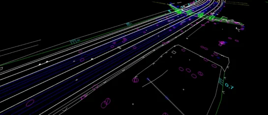
Conversion of JVF DTM to DGN and SHP – the new MawisTools tool
The converter allows you to create a drawing in DGN/SHP formats from JVF DTM data, which you can view in your favorite application.
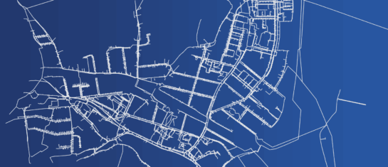
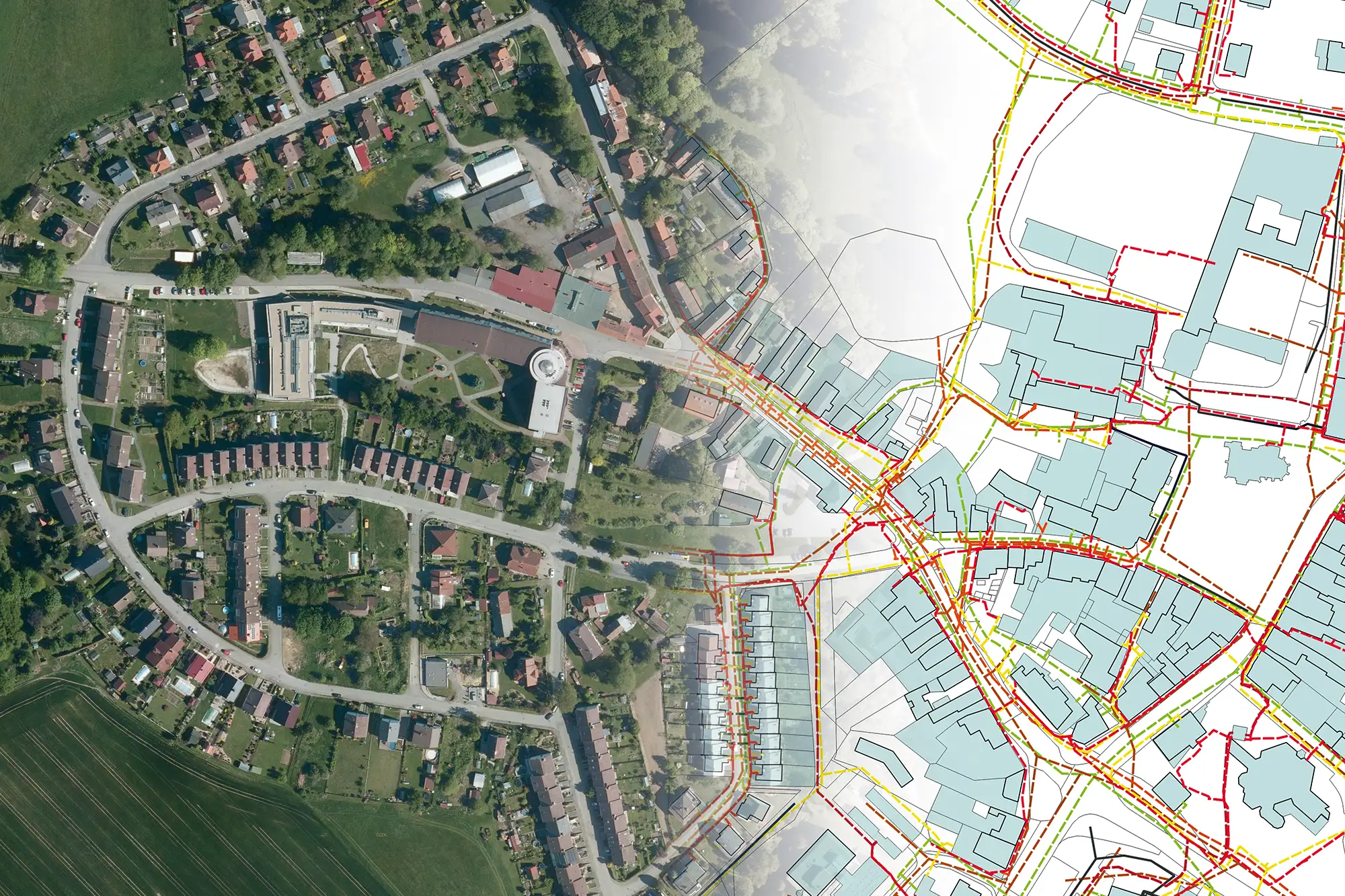
Digital Technical Map of the Czech Republic and the Geoportal Application
How to effectively prepare utility network data as part of the DTM ČR project, and how the Geoportal can help you manage it.
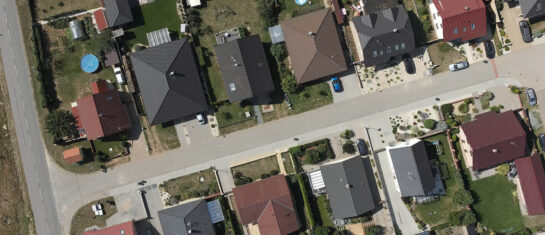
Search for affected parcels and their owners
MawisTools tools automate and streamline the process of locating relevant parcels, including ownership information.
The Expression Support Module in the Geoportal
The Expression Support module is a new feature that allows users to efficiently process requests for statements regarding the existence of networks.
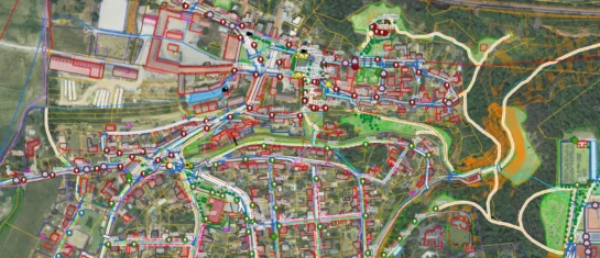
The Geoportal map window is packed with features
Easy to use, with a wide range of display and export options. Discover the key features of the map window.

Digital Engineering Maps and Their Importance for Modern Construction
DTM ČR streamlines construction processes, enhances planning accuracy, and improves access to infrastructure data.
Make working with maps easier using the Measurement and Notes Module
Discover the Measure & Notes module to take precise measurements, manage your own notes, and share data with others.


