


Articles

The MawisUtility Interface and Service
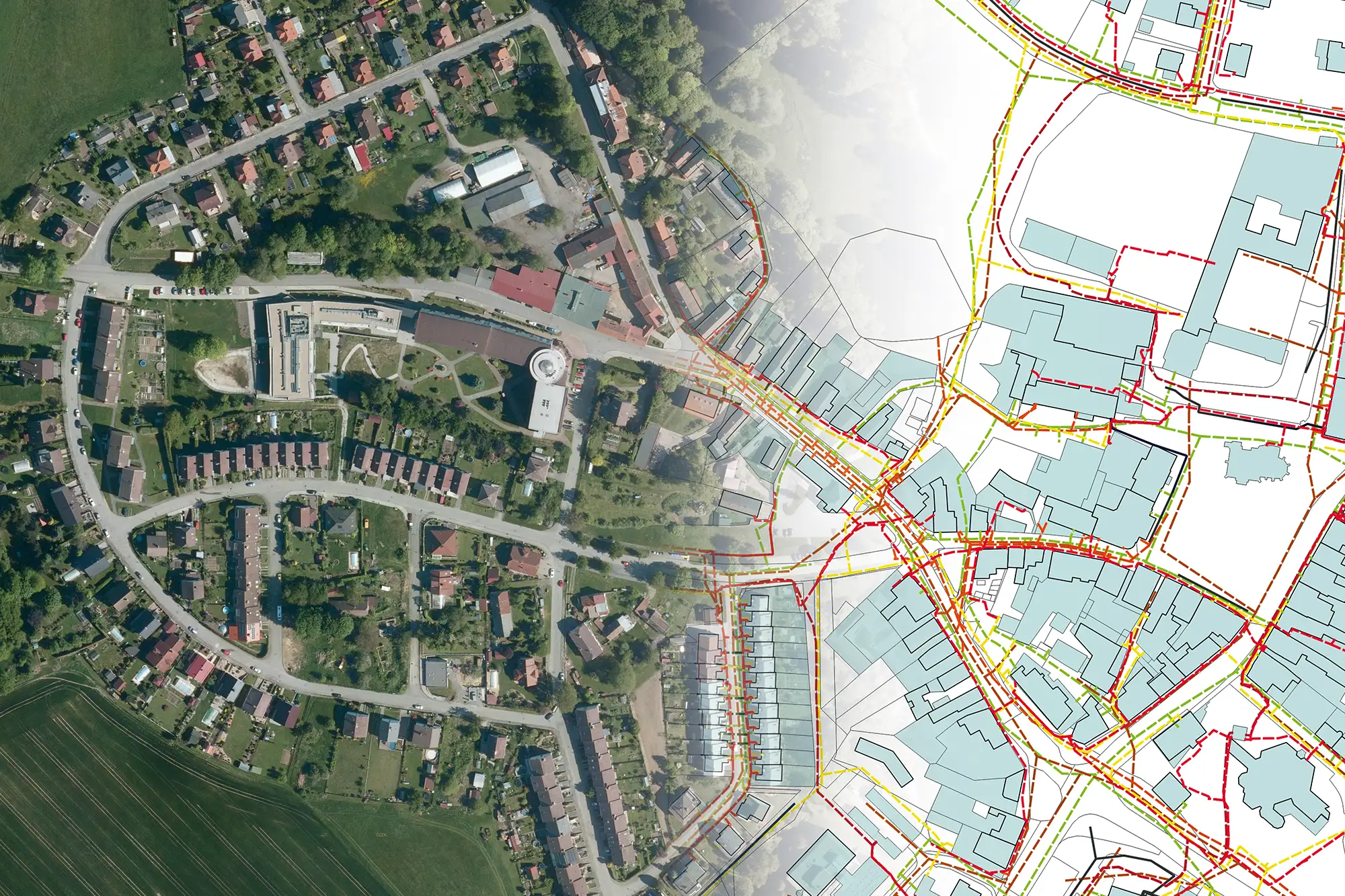
We have been operating the MawisUtility service for over ten years. To keep pace with the digital age, we are constantly striving to develop and improve all of our services.

New connection with Pražská plynárenská Distribuce
A new interface designed to simplify your work has been launched between MawisUtility and Pražská plynárenská Distribuce, a. s. (PPD).
Changes for Network Administrators in 2023
The new year brings several changes for network administrators that may affect the list of IT entities generated in the MawisUtility service.
The MAWIS Portal and Geomatics Tools
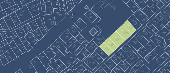
We are launching the new MAWIS library of geomatics tools. The first available feature is the search for relevant land parcels in the Real Estate Cadastre from RÚIAN.
Hrdlička and the Digital Technical Map of the Czech Republic
Services for owners and managers of transportation and technical infrastructure.
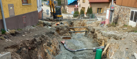
MawisPhoto at the Chotěboř construction site
On April 7, 2022, HRDLIČKA spol. s r.o. demonstrated the MawisPhoto software—Beta version—directly on-site at our construction project.

Deactivation of Cznet s.r.o. in the MawisUtility service
As of May 18, 2022, the list of administrators generated by the MawisUtility service will no longer include Cznet s.r.o.
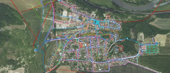
Digital Technical Map of the Czech Republic
The map introduces new legal requirements. Do you know how to comply with them?

MawisPhoto is also making a name for itself abroad
Our MawisPhoto service, which allows users to create modern 3D documentation using a mobile phone, has attracted the interest of customers both domestically and abroad.
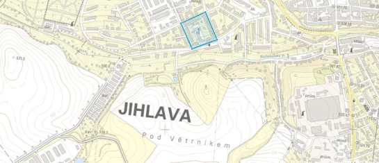
MawisUtility on the Citizen Portal
In April 2019, we were the first to launch the MawisUtility private service on the Citizen Portal for the Vysočina Region.
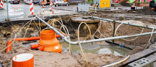
Significant changes for network administrators
For those of you who have been using our MawisUtility app for some time, it comes as no surprise that the new year brings a host of changes for network administrators.
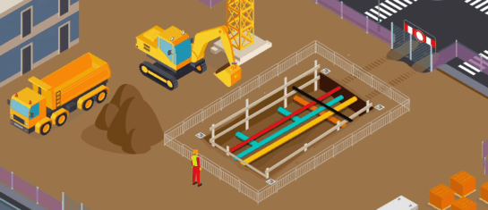
The digital transformation of the construction industry is here
MawisPhoto offers a modern way to keep 3D records using your smartphone.


