


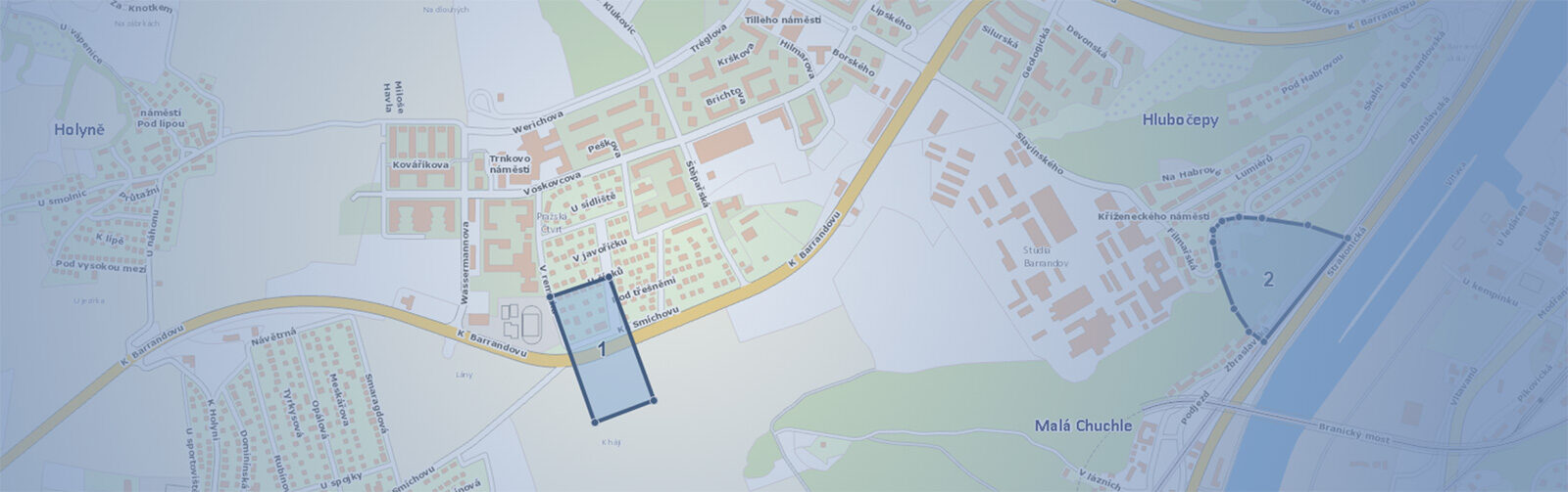
Simplify your queries regarding the existence of networks in the Mawis Geoportal
We are introducing the new "Support for Comments" module in the Mawis Geoportal, which will make it easier for network administrators to submit comments on construction projects.
From the very beginning, we developed the Mawis Geoportal to not only display maps but also support a wide range of other day-to-day tasks handled by utility network operators, municipalities, and cities.
Owners and operators of utility networks are required to respond to developers’ requests as part of the building permit process. This is a relatively common activity—nationwide, owners and operators receive hundreds of thousands of requests for statements regarding the existence of utility networks each year. Our Mawis Utility service significantly simplifies this administrative process for applicants.
To make the work easier for utility network administrators who must process these requests, we have added a “Request Support” module to the Mawis Geoportal. This module displays, in real time, all requests from developers that are directed to the administrator in the Mawis Utility system. On the map, you can see which area the request concerns, and by enabling the relevant layers, you can determine which of your networks are located in that area and could be affected by the construction project.
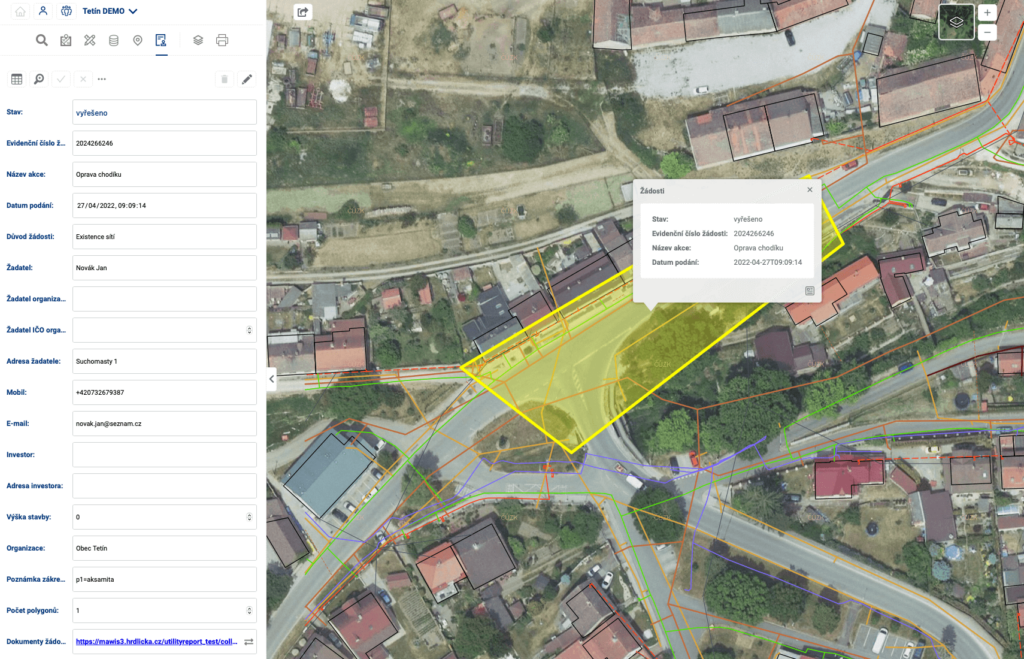
By providing information on the route of your networks, you confirm whether they run through a specific area, thereby preventing undesirable situations such as severed cables or damage to power, water, or gas lines.
The Statement Support module is used to assess potential conflicts with your infrastructure. Statements must be created in your standard document management system. We are currently working on a feature that will allow you to submit statements regarding requests directly from the Geoportal.
The Expression Support module must be ordered. We believe it will make your daily work easier, and we would be happy to hear from you if you are interested in implementing it.
30-day free trial of the geoportal
More similar articles
MawisGeoportal – Summer News for 2026
Printing up to A0, export to JPEG, 3D help, and faster record management. An overview of the summer 2026 updates to Geoportal.
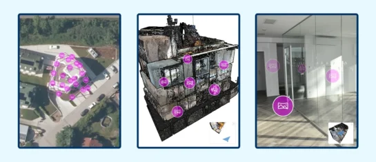
MawisGeoportal integrates a full-featured 3D viewer
A new 3D viewer fully integrated into MawisGeoportal. No separate tools—the customer’s 2D and 3D data are all in one place and available online.
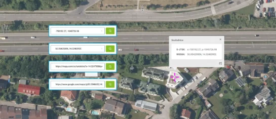
Search by Entering Geographic Coordinates
MawisGeoportal expands search capabilities using WGS 84 or S-JTSK geographic coordinates and links from other applications.


