


Task Manager for Effective Task Management in the Geoportal Map
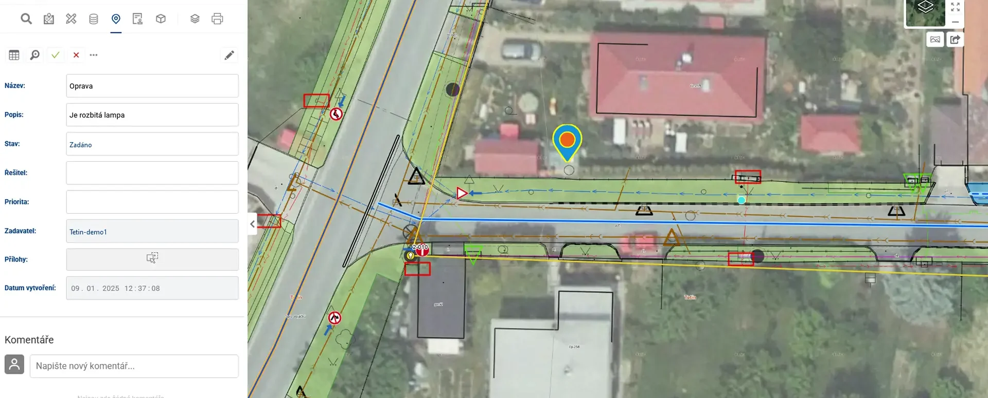
The Task List module allows you to enter tasks on a map with their exact locations to coordinate fieldwork
The Mawis Geoportal includes a Task Manager module that allows users to assign location-based tasks directly within the map application and subsequently track their progress as they are passed between project users, both in the office and in the field.
By anchoring the task in a specific location, it enables precise localization and effective coordination of all activities in the area.
With the task list, the Geoportal now makes it easy for you to:
- Create tasks directly on the map
- Assign them to specific people
- Set priorities and statuses
- Add attachments and comments
- Receive email notifications about changes
List of the main features of the Task Manager module:
- Creating tasks directly on the map by entering a location
- Precise identification of the intervention site or work area
- A visual overview of the distribution of tasks across the region and their status
- Option to attach photos and other files to a task
- Locating points and measuring distances or areas for work planning
- Displaying tasks with different map layers (cadastral map, orthophoto, base map, or technical map)
30-day free trial of the geoportal
More similar articles
MawisGeoportal – Summer News for 2026
Printing up to A0, export to JPEG, 3D help, and faster record management. An overview of the summer 2026 updates to Geoportal.
MawisGeoportal integrates a full-featured 3D viewer
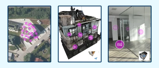
A new 3D viewer fully integrated into MawisGeoportal. No separate tools—the customer’s 2D and 3D data are all in one place and available online.
Search by Entering Geographic Coordinates
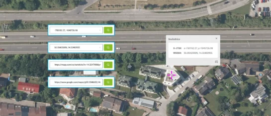
MawisGeoportal expands search capabilities using WGS 84 or S-JTSK geographic coordinates and links from other applications.


