
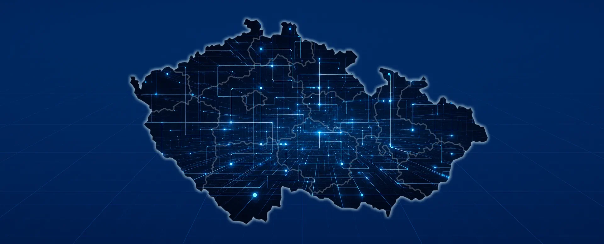
Universal Data Model 2.1.1, based on JVF DTM 1.5.0.2, is now available
The new version of UDM builds on JVF DTM 1.5.0.2, which ČÚZK is rolling out in November. It includes bug fixes, a style template, and examples of real-world data.
The Czech Chamber of Surveyors (ČKZ) has released version 2.1.1 of the Universal Data Model (UDM). This version builds on the JVF DTM 1.5.0.2 standardized exchange format, which the Czech Office for Surveying, Mapping, and Cadastre (ČÚZK) plans to deploy on November 18, 2026. The UDM can thus be used concurrently with the new DTM format.
What's New in Version 2.1.1
The UDM Editorial Board has incorporated user feedback on version 2.1 and the changes between JVF DTM 1.5.0.1 and 1.5.0.2. In addition:
- corrected minor inaccuracies, typos, and the appearance of certain symbols,
- described all the changes in the text portion of the UDM documentation,
- added a style guide showing how all elements should be styled according to the recommended design,
- She added two examples of real data processed in UDM 2.1.1.
“The rest is now up to the users. Software tool vendors are aware of UDM and are preparing for its implementation, so new versions incorporating UDM will certainly be released soon,” says Jan Floriánek, CEO of HRDLIČKA and head of the UDM working group and editorial board.
What Is the Universal Data Model?
UDM is an extended version of the regional DTM data model. It incorporates all objects and attributes from the JVF DTM and supplements them with so-called extensions. Thanks to these extensions, it is possible to record data that cannot be stored in the regional DTM for legal reasons, such as cadastral data.
This is the first data model developed primarily for data collectors—that is, surveyors and licensed land surveying engineers. Unlike a DTM, it does not, by default, enforce strict topological rules or require that all attributes be filled in. These matters are left to agreement between the contractor and the client.
Key Benefits of UDM
- Automatic generation of DTM data (starting with JVF DTM version 1.5.0.2) from a single data set.
- A standardized data container for transferring data between the contractor and the customer, as well as between various systems for data collection and management.
- Asset registration and data management for cities, municipalities, and technical infrastructure or facility managers.
- Design documentation, including export to CAD formats.
- More comprehensive data content: hatching, labels, notes, contour lines, and attachments such as photos or PDFs. The data is readable even without advanced software tools.
- Standard extensibility: Each user can extend the data model in a consistent and unambiguous manner.
- Standardization of records: Consistently structured data ensures uniformity in presentation, appearance, description, and terminology across data administrators and owners.
- Openness: The basic structured version of UDM is free for ČKZ members and other professionals.
How UDM Has Evolved
The first public version was released in July 2025. This was followed in November 2025 by the complete version 1.1, based on JVF DTM 1.4.3, after which an open comment period took place. Version 2.1 was released on July 20, 2026, and was the first to be based on the new generation of JVF DTM 1.5.
The Czech Office for Surveying, Mapping, and Cadastre (ČÚZK) also supports the creation of the UDM. It has reserved the prefix 94 for UDM elements in government administrative systems, and when requests are made to expand the DTM, it refers applicants specifically to the UDM. The model was developed by a working group led by Jan Floriánek, and its further development is overseen by the editorial board at the Czech Cartographic Institute (ČKZ).
Where to Find UDM
You can find the technical documentation, XSD templates, sample data, and a data sample on the website of the Czech Chamber of Surveyors. If you are preparing to transition to JVF DTM 1.5.0.2 or are deciding on the structure for submitting data to a municipality or network operator, we would be happy to advise you.
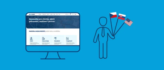
MAWIS now supports English and Slovak
The MAWIS portal, as well as the MawisUtility and Mawis Geoportal applications, are now available in three languages. English and Slovak have been added to the existing Czech version.
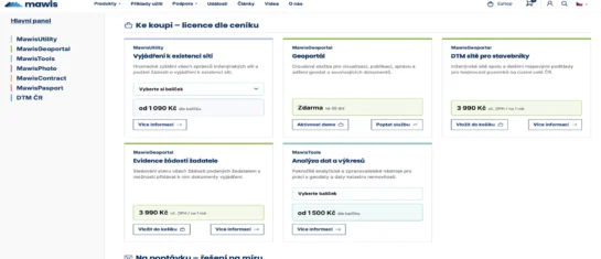
New online shop at mawis.eu – all services in one place
We've launched a new e-shop website that now brings together all the services available for order on Mawis.eu in one place.

Notice: Change to the MAWIS registration process, April 29–30
The transition to the new login method will take place on April 29. You will now use your email address. Please check your account.