


Integration of the Geoportal and the Stavee electronic construction log
The geoportal can now be integrated with the external application STAVEE Construction Log.
The Mawis Geoportal app now offers new functionality that expands the possibilities for using digital spatial data management. We have recently introduced the ability to link to external databases.
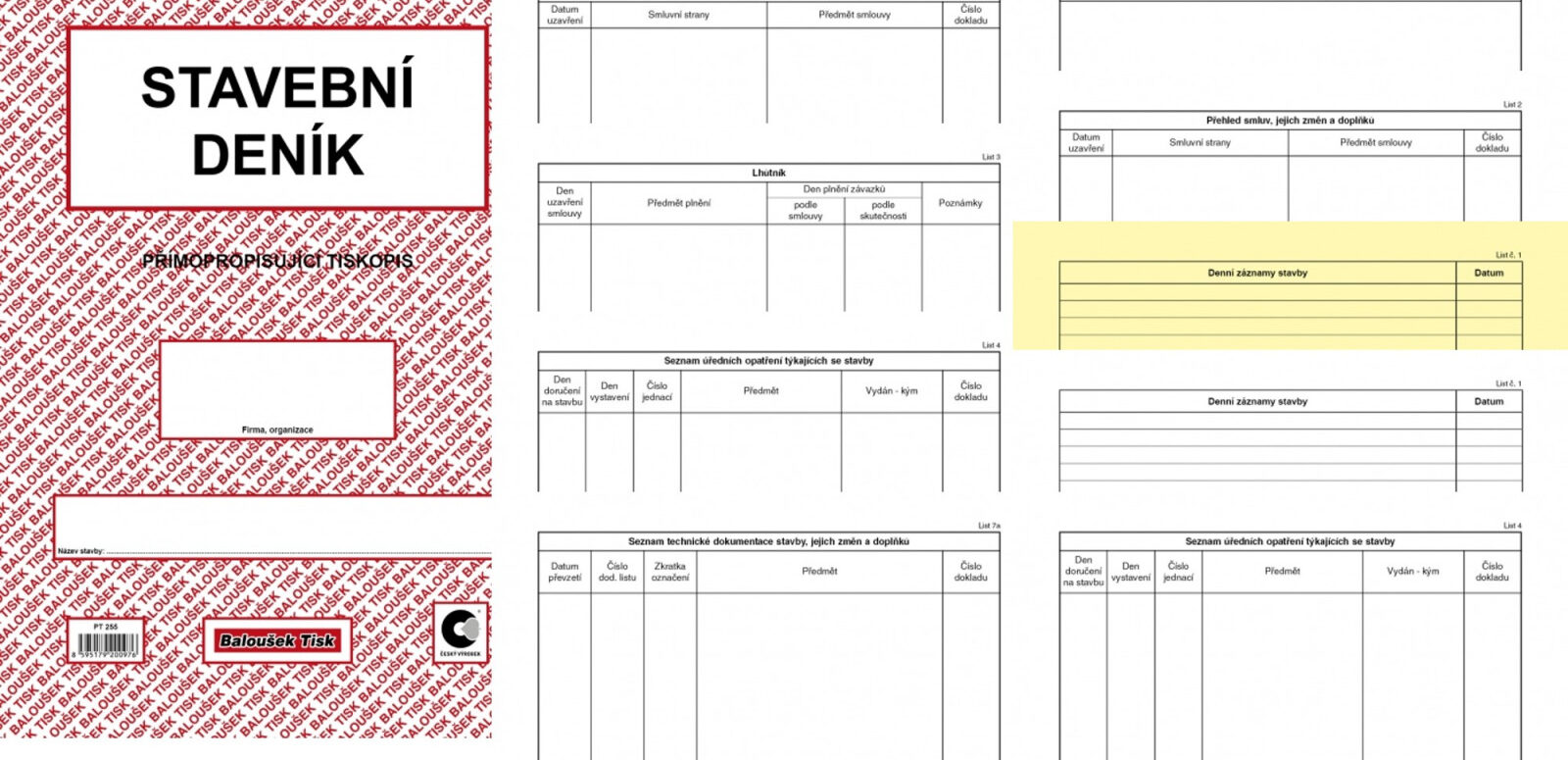
The first example of this new feature is the integration with the Stavee Construction Log app. Thanks to this integration, you can easily record and manage polygons representing construction projects in the Geoportal. Once a project enters the construction phase, you can easily link it to the documentation maintained in Stavee. This integration significantly simplifies access to construction documentation for all parties involved, including the investor, the general contractor, and their subcontractors. Stavee, a standalone application sold by Intelis, is fully compliant with the requirements for maintaining construction documentation in accordance with applicable legal standards.
This new feature was first implemented in the municipality of Tetín, which successfully integrated its database of building projects with the Stavee app, which it has been using for some time. This integration allows the municipality to better manage its construction projects and ensure easy and transparent access to all construction documentation.
Thanks to the integration of the Mawis Geoportal with Stavee, managing construction projects is much simpler and more efficient. All stakeholders can access the documentation with just a few clicks, which improves transparency and streamlines the entire process.
New Feature of the Mawis Geoportal: Integration with External Databases
Key points:
Expansion of Digital Spatial Data Management
- The Mawis Geoportal now allows integration with external databases
- Improves the potential for using digital spatial data management
Integration with the Stavee Construction Log app
- Enables the recording and management of polygons associated with construction projects in the Geoportal
- Direct integration with the corresponding construction documentation in Stavee
- Stavee is a standalone application developed by Intelis, in compliance with applicable legal standards
Benefits of Interconnection
- Simplifies access to documentation for all stakeholders
- This includes investors, general contractors, and their subcontractors
- Improves the transparency and efficiency of construction project management
Practical example: The village of Tetín
- The first successful implementation of the new feature
- Integration of the building project registry with the Stavee app
- It enables better management of construction projects and efficient access to documentation
Overall benefit
- Simplifies the management of construction projects
- It increases the transparency and efficiency of the process
- Provides easy access to documentation for everyone involved
30-day free trial of the geoportal
More similar articles
MawisGeoportal – Summer News for 2026
Printing up to A0, export to JPEG, 3D help, and faster record management. An overview of the summer 2026 updates to Geoportal.
MawisGeoportal integrates a full-featured 3D viewer
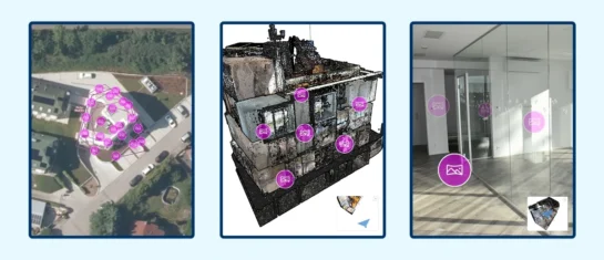
A new 3D viewer fully integrated into MawisGeoportal. No separate tools—the customer’s 2D and 3D data are all in one place and available online.
Search by Entering Geographic Coordinates
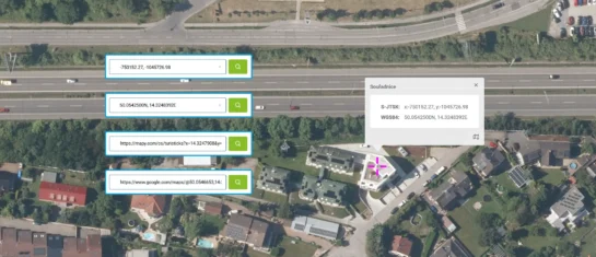
MawisGeoportal expands search capabilities using WGS 84 or S-JTSK geographic coordinates and links from other applications.


