


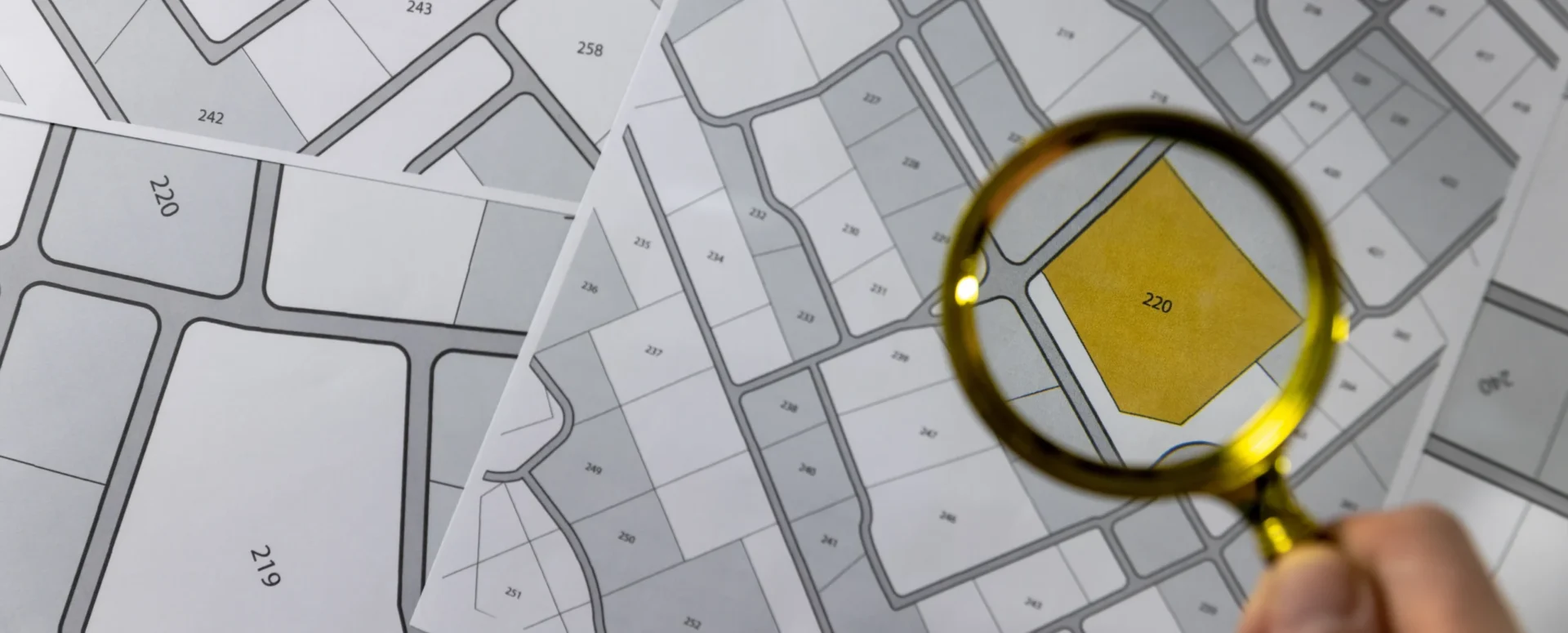
Land Registry and Thematic Maps on the Geoportal
In addition to cadastral maps, the Land Registry module offers parcel searches, integration with other registries, and the ability to import VFK files.
MawisGeoportal allows you to work with the cadastre in several different ways, all of which are centralized in the Real Estate Cadastre module. Searching for and analyzing or exporting parcel data is really easy with Geoportal.
1. The available viewable map layers of the real estate cadastre include:
- parcels (boundaries and points),
- buildings,
- boundary of the cadastral district
The range of layers available in the real estate cadastre has been expanded to include three new thematic maps:
- Easements – clearly illustrated using red polygons
- Plots by land use – color-coded by land function
- Plots by land type – e.g., arable land, forest land, built-up area, etc.
If the map layer is enabled, details from that layer are added to the context menu that appears when you click on a location on the map.
2. Search for parcels
There are two ways to search the cadastre: by name or cadastral area code and parcel number (auto-complete), or by selecting a location directly on the map (spatial search). Both methods can be combined and displayed in a single results table.
a) parcel selector
The user enters the cadastral area (name or code) and the parcel number. Two additional buttons allow the user to: add new results to the table or replace existing ones, and search for multiple parcels at once.
b) spatial search
Search based on selections made directly on the map. As with general layers, you can select multiple features and view the results clearly both on the map and in a table.
3. Direct connection to the Land Registry and CZSO data
For each parcel, you can view basic information and access a detailed extract from the ČÚZK public registry with a single click. Parcels in the Geoportal include a basic description:
- parcel number,
- municipality,
- cadastral area,
- area,
- type of land,
- intended use,
- and the adjacent parcels.
NEW – Technical Data on Structures (Buildings)
When you click on a building lot, you’ll also see additional data from the Czech Statistical Office based on the most recent available census:
- address,
- completion date,
- number of apartments,
- building footprint and floor area,
- number of floors and entrances,
- heating method,
- connections to water, sewer, and gas,
- the presence of an elevator, and more.
4. Importing VFK and other formats
The geoportal supports the import of data from the VFK land registry exchange format—including both descriptive and graphical components.
- The drawing will be loaded as a new temporary layer.
- It can be permanently saved after approval by an administrator.
- Other formats are also supported: DGN, DWG, DXF, VFZE, KML, SHP.
5. Conclusion
The Geoportal is a comprehensive tool for anyone who works with geographic data. With its integration with the real estate cadastre, advanced search capabilities, thematic maps, and the ability to import your own data, it provides a reliable tool for analysis, planning, and decision-making.
30-day free trial of the geoportal
Do you need advice on something? We’re here to help via email or phone.
Láďa Bláha
More similar articles
MawisGeoportal – Summer News for 2026
Printing up to A0, export to JPEG, 3D help, and faster record management. An overview of the summer 2026 updates to Geoportal.
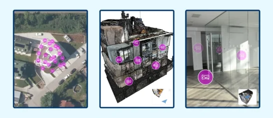
MawisGeoportal integrates a full-featured 3D viewer
A new 3D viewer fully integrated into MawisGeoportal. No separate tools—the customer’s 2D and 3D data are all in one place and available online.
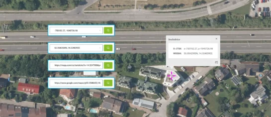
Search by Entering Geographic Coordinates
MawisGeoportal expands search capabilities using WGS 84 or S-JTSK geographic coordinates and links from other applications.


