



MawisGeoportal – Winter Updates for 2025
Introducing the new features for winter 2025 in the MawisGeoportal app. We’re constantly improving it for you.
Dear MawisGeoportal users, we would like to introduce you to the most important winter updates in our Geoportal map application.
Key updates:
1. Expression Support Module
- Record of Comments – Added the ability to record documents containing comments on requests
- Direct submission of responses – the tool can now send responses directly to the applicant, including documents
- Filter requests – easily view only the requests that interest you, sorted by their current status
2. Geoportal User Layer – Custom Datasets!
Do you need to keep track of specific properties, monitor leases, manage land-use projects, or stay on top of planned investments? Our administrators will create a customized property inventory for you!
What does a customized passport mean in practice?
- A list of objects with geometry and attributes. We can easily implement them
- Record of vendor stands or other structures in the area used for regular public events
- Property or Space Leasing Management
- Investment Projects – Coordinate and Track Small-Scale Construction Projects, Set Deadlines, and Monitor Progress
- The ability to compare plans with actual results using graphical representations
We’ll help you design the best solution for management and record-keeping—tailored exactly to your needs.
3. Notifications of Important Dates
The geoportal now allows you to set up automatic alerts for upcoming expiration dates for any data in the tables.
- The notification will be sent to the email address you provided
- The administrator can set up multiple reminders (e.g., 5 or 30 days in advance)
- Ideal for tracking inspection deadlines and other key events
4. Search and Table Improvements
- Support for displaying long text values in tables without disrupting the layout of individual rows
- More accurate and faster searching and filtering based on data across all records
5. DTM Network Applications
We have developed a paid DTM network app that displays digital technical map data for regions and offers:
- Access to digital technical maps of regions throughout the Czech Republic
- Detailed specifications regarding technical and transportation infrastructure
- Other useful layers: cadastral maps, flood zones, soil quality, protected areas, and more
For more information, visit https://mawis.eu/en/sluzby/geoportal/.
30-day free trial of the geoportal
More similar articles
MawisGeoportal – Summer News for 2026
Printing up to A0, export to JPEG, 3D help, and faster record management. An overview of the summer 2026 updates to Geoportal.
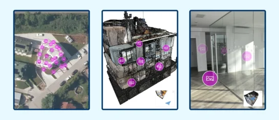
MawisGeoportal integrates a full-featured 3D viewer
A new 3D viewer fully integrated into MawisGeoportal. No separate tools—the customer’s 2D and 3D data are all in one place and available online.
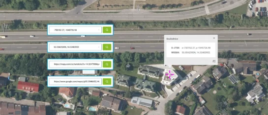
Search by Entering Geographic Coordinates
MawisGeoportal expands search capabilities using WGS 84 or S-JTSK geographic coordinates and links from other applications.


