


Make working with maps easier using the Measurement and Notes Module
Discover the Measure & Notes module to take precise measurements, manage your own notes, and share data with others.
When working with digital maps, you’ll certainly appreciate tools that help you measure distances, draw areas, and add notes directly on the map. The Measurement and Notes Module in the Mawis Geoportal offers exactly that.
Why should you use this module?
- Easy measurement – Find coordinates, distances, and areas right on the map.
- Custom drawing – Mark important locations, draw lines, or highlight areas.
- Data Export – Save records to a spreadsheet or SHP file and share them with colleagues.
- Collaboration – Share information and notes with other project users.
How does the module work?
You can find the module in the app’s main toolbar under the pencil and ruler icon. Once you open it, you can start measuring and drawing.
Available tools:
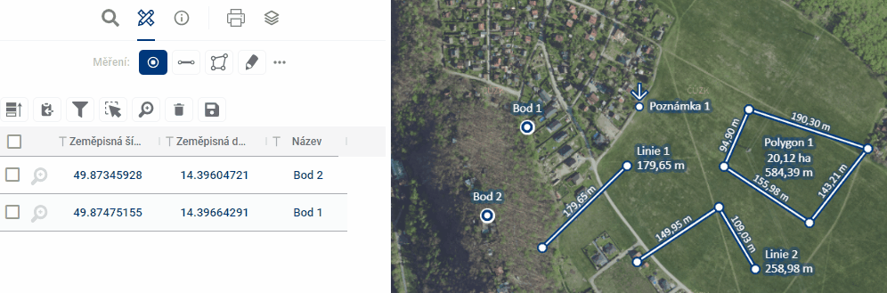
- Point – Marking important locations.
- Line – Measuring distances between points.
- Polygon – Calculating the area or perimeter of a region.
- Notes – The ability to add your own comments to locations on the map.
Data Storage and Management
You can save any elements you create in the module in the following ways:
- Temporary – The elements will disappear when the app is closed.
- For users – Your data will be saved for your next login.
- For everyone – Shared data visible to all project users.
Table View
The module also provides a tabular overview of the plotted elements, with search, filter, and edit functions. The results can be exported to spreadsheets or SHP files.
Sharing and Collaboration
Share your measurements and notes with other project users via a link. The module supports comments and feedback on individual elements, which facilitates collaboration on the creation of data and map layers.
For more information, visit https://mawis.eu/en/sluzby/geoportal/.
30-day free trial of the geoportal
Do you need advice on something? We’re here to help via email or phone.
Láďa Bláha
More similar articles
MawisGeoportal – Summer News for 2026
Printing up to A0, export to JPEG, 3D help, and faster record management. An overview of the summer 2026 updates to Geoportal.
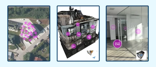
MawisGeoportal integrates a full-featured 3D viewer
A new 3D viewer fully integrated into MawisGeoportal. No separate tools—the customer’s 2D and 3D data are all in one place and available online.
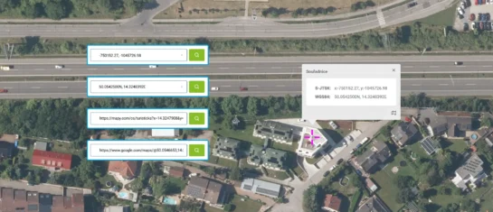
Search by Entering Geographic Coordinates
MawisGeoportal expands search capabilities using WGS 84 or S-JTSK geographic coordinates and links from other applications.


