


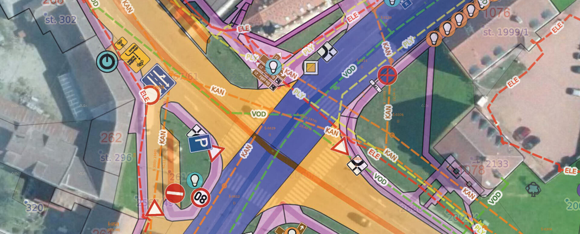
MawisGeoportal – a modern web-based GIS for your business
Mawis Geoportal offers an innovative web-based solution that simplifies working with GIS data without the need for complex installations.
📖 Article on System Online: MawisGeoportal – a web-based GIS tool designed for easy implementation in business environments.
Today, modern businesses and organizations need to effectively manage and analyze spatial data. Traditional GIS tools often require complex installations and specialized knowledge. Mawis Geoportal offers an innovative solution that overcomes these obstacles and provides an intuitive GIS solution suitable for both businesses and organizations.
A web-based solution accessible from anywhere
A key advantage of the Mawis Geoportal is its web-based architecture. The system runs directly in a web browser without the need to install any software. Users can thus access their spatial data and analytical tools anytime and from anywhere, which significantly simplifies system deployment and management.
Advanced features for working with spatial data
The geoportal offers a sophisticated module for working with the real estate cadastre, which allows for easy searching and analysis of information about land parcels and buildings. The system also supports the creation of custom cadastral layers based on specific client requirements.
A unique feature is the ability to switch between map and table views of the data. The table views support advanced filtering and bulk editing of records, which allows for more efficient management of the records.
Modern Technology and Integration
The Mawis Geoportal supports the use of 3D data, including an interactive 3D viewer. It is designed for integration with external databases and information systems, enabling the linking of spatial data with other important information sources.
Effective Task Management
The optional Task List module allows you to define and manage tasks linked to specific elements on the map. This enables organizations to effectively coordinate fieldwork and track task completion. The system includes automatic email notifications about changes to tasks.
Mawis Geoportal is a modern web-based GIS solution that combines intuitive controls with advanced features for managing spatial data.
For more information, visit https://mawis.eu/en/sluzby/geoportal/
30-day free trial of the geoportal
More similar articles
MawisGeoportal – Summer News for 2026
Printing up to A0, export to JPEG, 3D help, and faster record management. An overview of the summer 2026 updates to Geoportal.
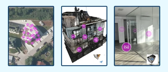
MawisGeoportal integrates a full-featured 3D viewer
A new 3D viewer fully integrated into MawisGeoportal. No separate tools—the customer’s 2D and 3D data are all in one place and available online.
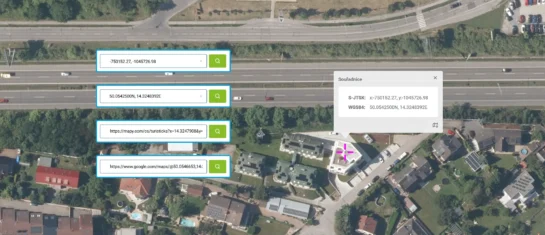
Search by Entering Geographic Coordinates
MawisGeoportal expands search capabilities using WGS 84 or S-JTSK geographic coordinates and links from other applications.


