


New MawisGeoportal App – DTM Networks Across the Czech Republic
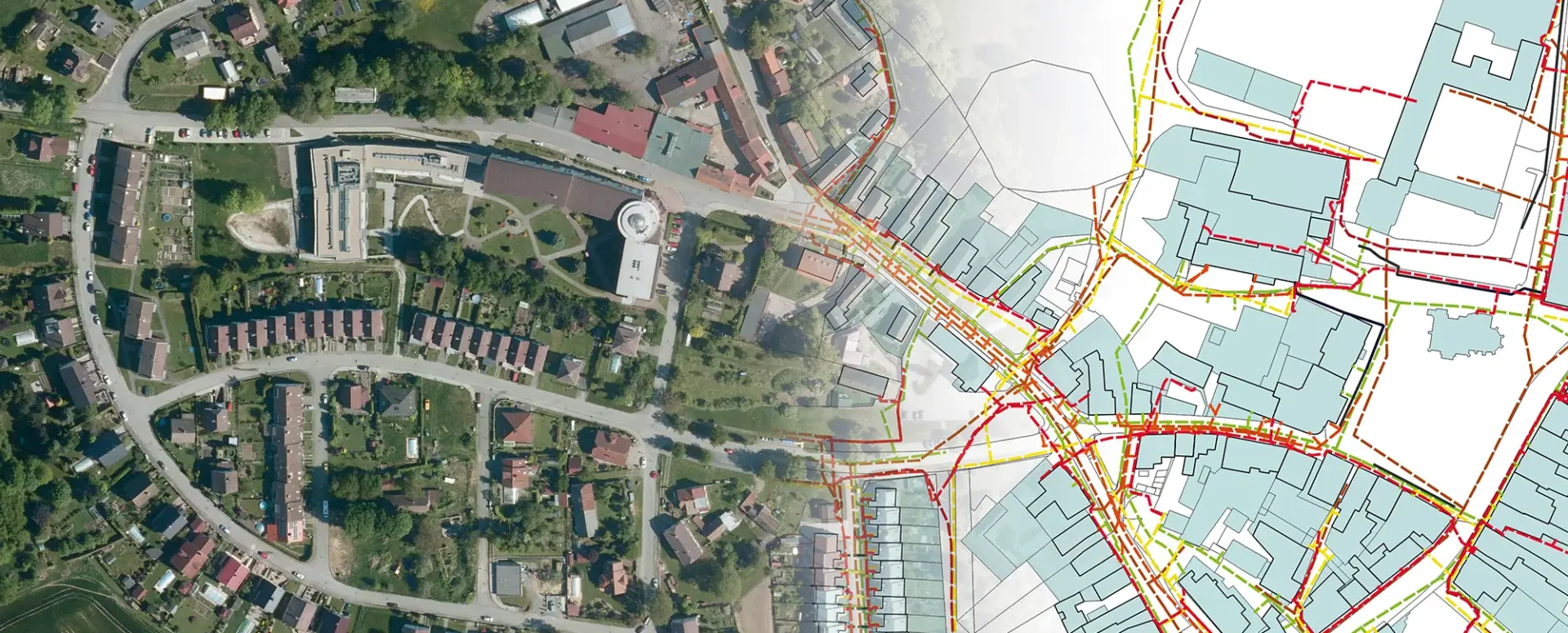
Discover a comprehensive overview of the Czech Republic’s utility networks in a single app. A digital technical map is now at your fingertips.
We have developed the MawisGeoportal DTM Network app, which provides access to information on the location of utility networks throughout the Czech Republic.
In the DTM Network app, you can easily compare:
- a drawing of your project in DGN, DWG, DXF, SHP, JVF DTM, or VFK format
- Information from regional DTMs (Transport and Technical Infrastructure and ZPS)
- Land Registry, including graphically displayed easements
- Points of interest from the RÚIAN registry to help navigate the area
- public map data selected and prepared by us
- base layers – satellite image and base map
It’s now easy to find out information about the infrastructure.
Clicking on the map displays all features in the immediate vicinity of the point, i.e., objects from the displayed layers and their attributes, including information about the owner of the feature.
The data source is the DTM ČR project, specifically the regional digital technical maps launched this summer.
For more information about the app, visit https://mawis.eu/en/sluzby/dtm-site/.
30-day free trial of the geoportal
More similar articles
MawisGeoportal – Summer News for 2026
Printing up to A0, export to JPEG, 3D help, and faster record management. An overview of the summer 2026 updates to Geoportal.
MawisGeoportal integrates a full-featured 3D viewer
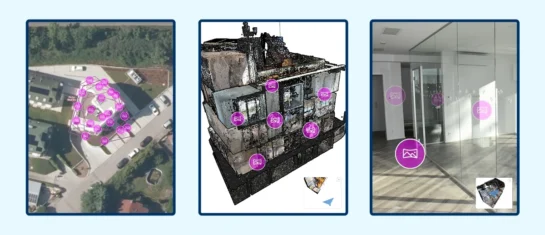
A new 3D viewer fully integrated into MawisGeoportal. No separate tools—the customer’s 2D and 3D data are all in one place and available online.
Search by Entering Geographic Coordinates
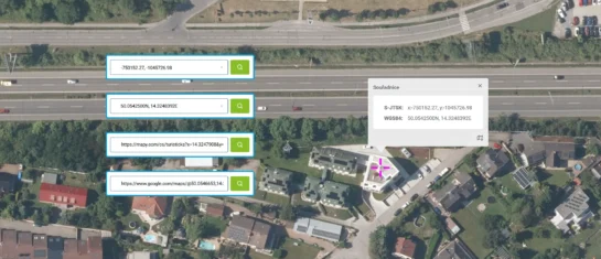
MawisGeoportal expands search capabilities using WGS 84 or S-JTSK geographic coordinates and links from other applications.


