


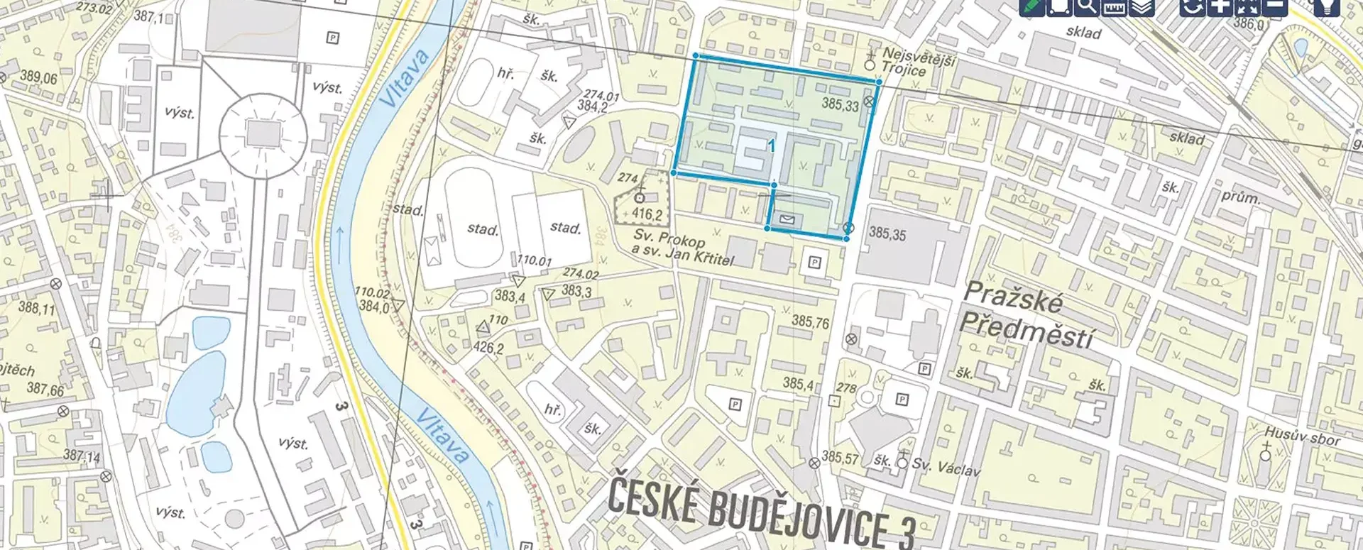
Discover a new dimension of geodata management with Geoportal
Discover the MAWIS Geoportal, a cloud-based mapping application for the efficient visualization, publication, management, and sharing of geodata.
Geoportal is a cloud-based mapping application that allows you to visualize, publish, manage, and share geodata with ease and efficiency.
Key benefits of the Geoportal:
- Clarity: Geodata in one place, ready for use in both 2D and 3D;
- Time and efficiency. Intuitive controls and support for day-to-day management and decision-making;
- Visualization. Map data and various geographic data on the region in a broader context;
- Versatility. Working with digital technical maps, utility networks, asset inventories, and the real estate cadastre.
Key features of the Geoportal:
- Access from anywhere: Thanks to the cloud-based solution, you can access your data from anywhere with an internet connection;
- Displaying various geodata: The geoportal allows users to view thematic maps with legends and attach files—such as photos and documents—to them;
- Real-time geodata management: Intuitive and fast navigation in the map window allows you to quickly update and manage your geodata;
- Sharing important geodata with your team or clients: No more complicated data transfers. With Geoportal, you can easily share everything you need with anyone.
Who is the Geoportal intended for?
- Network Engineers: Technical and Transportation Infrastructure Management;
- Municipalities and Regions: Public Property Management, Digital Technical Map of the Czech Republic;
- Developers: Support from design through to construction;
- Designers: Data and drawing analysis, 3D documentation, and more.
Special offer for new clients!
- Try Geoportal free for 30 days and discover how it can streamline your work with geodata.
Don’t get left behind—join the geodata revolution with MAWIS’s Geoportal! For more information, visit our website and discover how Geoportal can make your work easier today!
We look forward to working with you.
More similar articles
MawisGeoportal – Summer News for 2026
Printing up to A0, export to JPEG, 3D help, and faster record management. An overview of the summer 2026 updates to Geoportal.
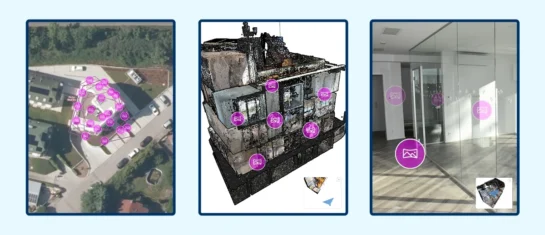
MawisGeoportal integrates a full-featured 3D viewer
A new 3D viewer fully integrated into MawisGeoportal. No separate tools—the customer’s 2D and 3D data are all in one place and available online.
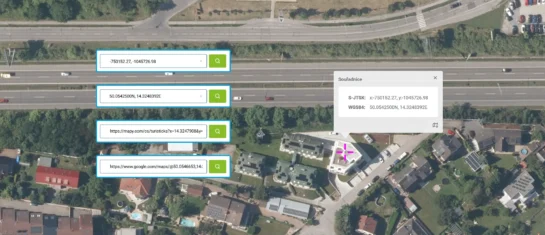
Search by Entering Geographic Coordinates
MawisGeoportal expands search capabilities using WGS 84 or S-JTSK geographic coordinates and links from other applications.


