Mawis Geoportal
Viewing and Editing Data
A mapping application for visualizing, publishing, managing, and sharing geodata and related documents.
MawisGeoportal Services
MawisGeoportal offers tools for visualizing, publishing, managing, and sharing geodata. These tools help users work with spatial information, improve management efficiency, and save time.
1. Geoportal – A mapping application for visualizing, publishing, managing, and sharing geodata and related documents.
2. DTM Utility Networks for Builders – Information on the location of utility networks, along with other map data, within the Czech Republic.
3. Applicant’s Application Record – Tracking the status of all applications submitted by the applicant, with the option to attach supporting documents to them.
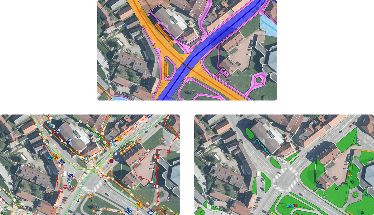
Geoportal
A mapping application for visualizing, publishing, managing, and sharing geodata and related documents.
DTM Networks for Builders
Information on the location of utility networks, along with other map data, within the Czech Republic.
Record of the applicant's requests
Track the status of all applications submitted by the applicant, with the option to attach supporting documents.
Videos and articles
DTM Network Applications
Recording and Management of Requests for Statements Regarding the Existence of Networks
Submitting an application via the MawisUtility app and subsequently tracking its processing status in the MawisGeoportal map application.
Mawis Geoportal
MawisGeoportal – Summer News for 2026
Printing up to A0, export to JPEG, 3D help, and faster record management. An overview of the summer 2026 updates to Geoportal.
Mawis Geoportal
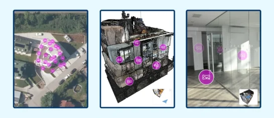
MawisGeoportal integrates a full-featured 3D viewer
A new 3D viewer fully integrated into MawisGeoportal. No separate tools—the customer’s 2D and 3D data are all in one place and available online.
Mawis Geoportal
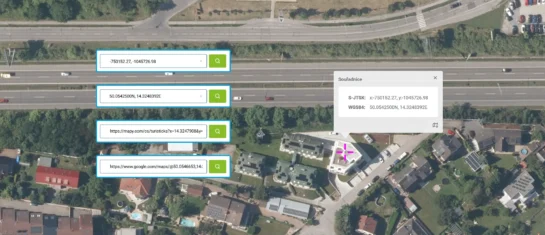
Search by Entering Geographic Coordinates
MawisGeoportal expands search capabilities using WGS 84 or S-JTSK geographic coordinates and links from other applications.
And why choose us?
15
years on the market
5 000
users
2 250 000
applications submitted