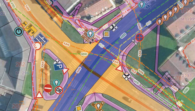
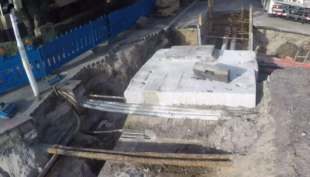
MawisTools – Advanced analytical tools for working with geodata
Advanced analytical and processing tools for working with geodata and land registry data.

Advanced analytical tools for working with geodata. Designed for surveyors, designers, and geoinformatics professionals.
1. Data and Drawing Analysis – a licensed service that includes 10 tools, which we continue to expand.
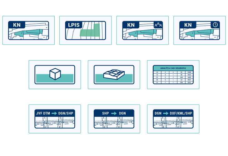
a) 🏠 Tools for working with land registry data
b) 📐 Spatial data calculations and analyses
c) 🔁 Data format conversion
Advanced analytical and processing tools for working with geodata and land registry data.
Advanced analytical and processing tools for working with geodata and land registry data.
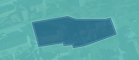
Upload your area of interest; the tool will generate a list of the relevant plots and export it in a format suitable for uploading to the Builder’s Portal.
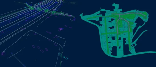
Searching for affected parcels and converting JVF to DGN are the most frequently used MawisTools tools in 2026.

The MawisTools library offers additional useful conversion tools for working with geodata and drawings.
Market performance
Users
Analyses performed