


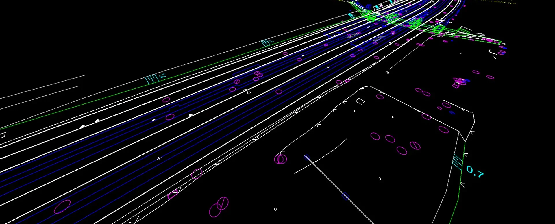
Conversion of JVF DTM to DGN and SHP – the new MawisTools tool
The converter allows you to create a drawing in DGN/SHP formats from JVF DTM data, which you can view in your favorite application.
Make your work easier with the new conversion tool!
Working with geodata can be complex and time-consuming, especially when you need to convert data between different formats. For users working with data in the JVF DTM 1.4.3 format, we have therefore developed a new tool in the MawisTools service that allows for easy conversion to DGN V8 and ESRI SHP formats.
Why use this tool?
The converter allows you to create a drawing in either DGN or SHP format—whichever you prefer—from JVF DTM data, which you can then view in your favorite application without any further manual adjustments.
How does it work?
- Upload your files – easily upload a JVF file (or a ZIP file containing multiple files)
- Select the output format – choose whether you want to convert to DGN V8 or ESRI SHP
- Enter your email address – once the conversion is complete, you will receive an email with a link to download the output files
What do you get?
- CAD drawing in DGN V8 – elements are automatically organized into layers according to the IS-DMVS standard (Public Administration Digital Map Information System)
- GIS data in ESRI SHP format – the structure complies with JVF, and the attributes are optimized for this format (complies with the digital technical map standard)
MawisTools: 30-day free trial
Do you need advice on something? We’re here to help via email or phone.
Ladislav Bláha
More similar articles
Preparation of a list of affected plots of land for the Builder’s Portal
Upload your area of interest; the tool will generate a list of the relevant plots and export it in a format suitable for uploading to the Builder’s Portal.
The Most Popular MawisTools Tools in 2026
Searching for affected parcels and converting JVF to DGN are the most frequently used MawisTools tools in 2026.

New conversion tools in MawisTools – JVF, DTM, DGN, SHP, DXF, and KML
The MawisTools library offers additional useful conversion tools for working with geodata and drawings.


