Back to all events
Mawis Geoportal
Geoportal – Webinar April 2024
A Geoportal for the Public – Introducing the New MAWIS Service.
11.04.2024
online, starting at 10 a.m.
In May, we hosted an online webinar about MawisGeoportal, which took place on Thursday, April 11, 2024, on the Microsoft Teams platform.
We introduced visitors to the main features of the Geoportal and demonstrated practical examples of how to use it for
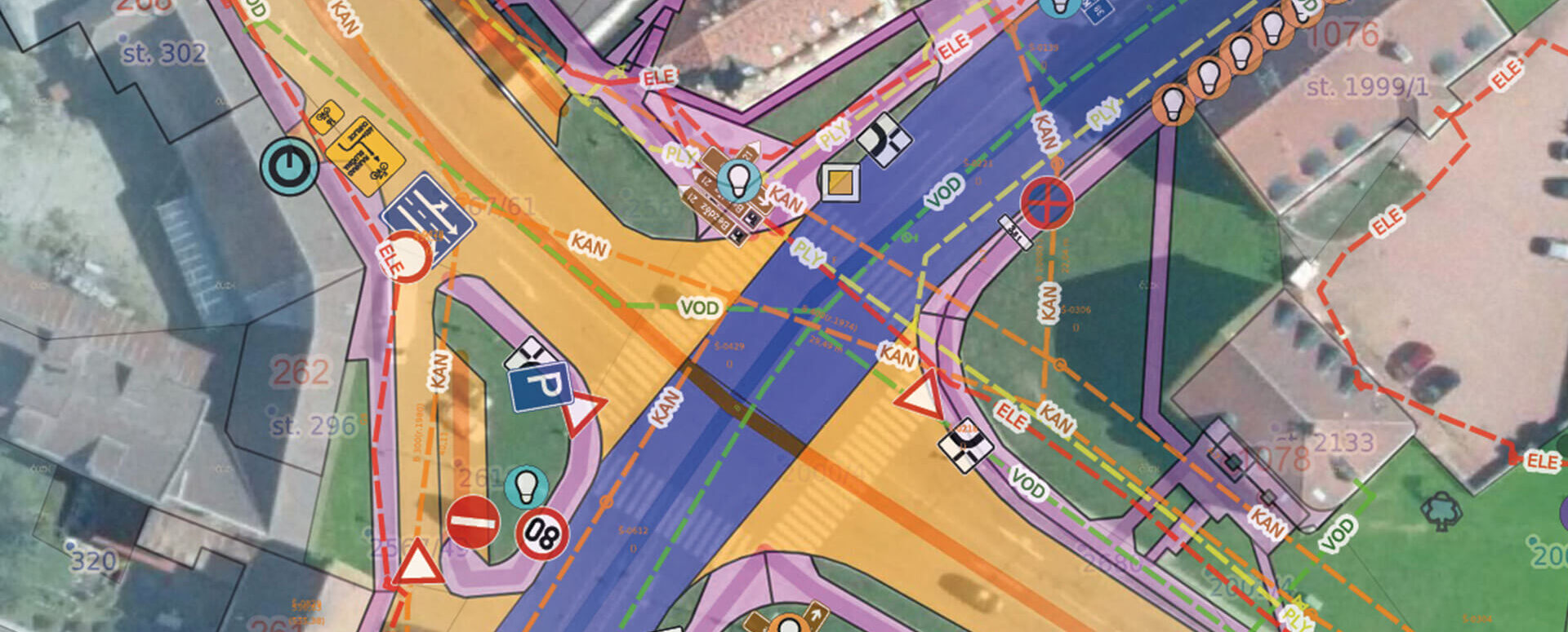
- Digital Technical Map – display and management of the technical map in accordance with the requirements of the DTM ČR,
- Utility networks – transportation and technical infrastructure, including support for providing feedback on the networks,
- Asset inventories – all your data in one place, where you can attach documents, contracts, and photos,
- Land Registry – advanced features and search capabilities for land registry data.
We’ve uploaded the webinar recording to YouTube, and you can watch it there.