Back to all events
Mawis Geoportal
Geoportal – Webinar March 2024
A Geoportal for the Public – Introducing the New MAWIS Service.
14.03.2024
online, starting at 10 a.m.
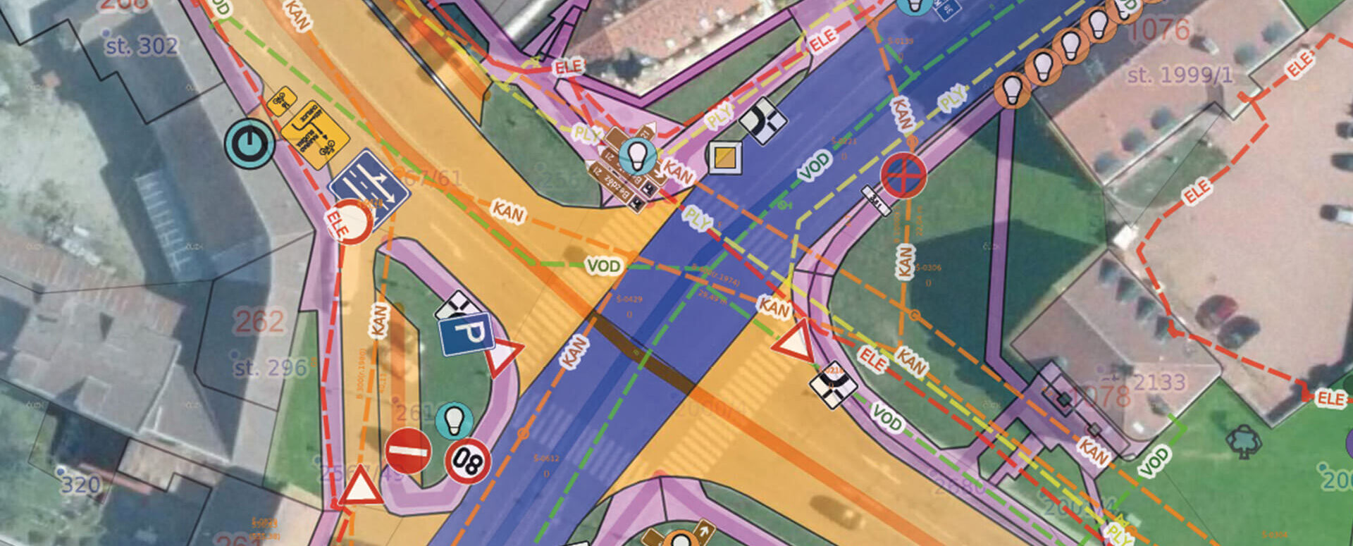
In March, we hosted a webinar on the new MawisGeoportal service, a cloud-based mapping application for visualizing, publishing, managing, and sharing geodata and related documents.
We introduced visitors to the main features of the Geoportal and demonstrated practical examples of how to use it for
- A digital technical map,
- Utilities,
- Asset inventories,
- The Land Registry.
We will email the webinar recording to all participants, including the Q&A session.