MawisGeoportal as a tool for monitoring construction progress
Applications for the construction of motorway sections or reconstruction of railway lines. It is suitable for linear constructions, development projects and smaller constructions.
Paper drawings, fragmented documentation and complex coordination between work teams. These are definitely situations that many construction projects in the Czech Republic are facing. MawisGeoportal offers a solution to continuously store and display data in one application and share it with other colleagues on site.
A simple map that says it all
MawisGeoportal is a web-based application designed to efficiently track and manage construction projects. It does not require installation, does not work with complex CAD software – just open a web browser. This allows the user to access up-to-date construction data at any time, whether they are in the office or on site.
The application is used today, for example, for the construction of new motorway sections or the reconstruction of railway lines, but its use is universal – it is suitable for linear constructions, development projects and smaller civic amenity buildings.
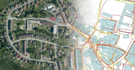
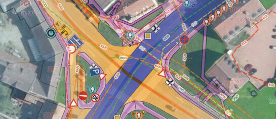
What can you find in one map?
MawisGeoportal offers a clear view of all key documents:
- drawings of the original and projected state
- burying elaborations
- working drawings including geodetic surveys
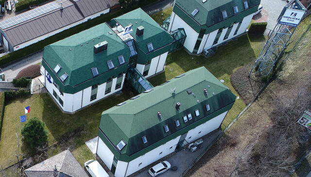
- drone images showing the current state of the building
- cadastral maps, orthophotos and elevation data
To the drawings and maps created in the application by the administrator, the user can add any other drawing in a number of formats at any time.
Features that make your job easier
In addition to the basic data display, the application offers advanced tools:
- reading the coordinates of points in the S-JTSK system
- measure distances and areas directly on the map
- notepad – clear record of information
- 3D terrain model for better spatial representation
- task book – assigning tasks to specific points on the map
Tasks can also be followed up with email alerts that include a direct link to the location on the map and a description of the problem or request. This way, teams don’t have to make complicated phone calls or email PDFs – everyone is immediately clear on what needs to be done and where.
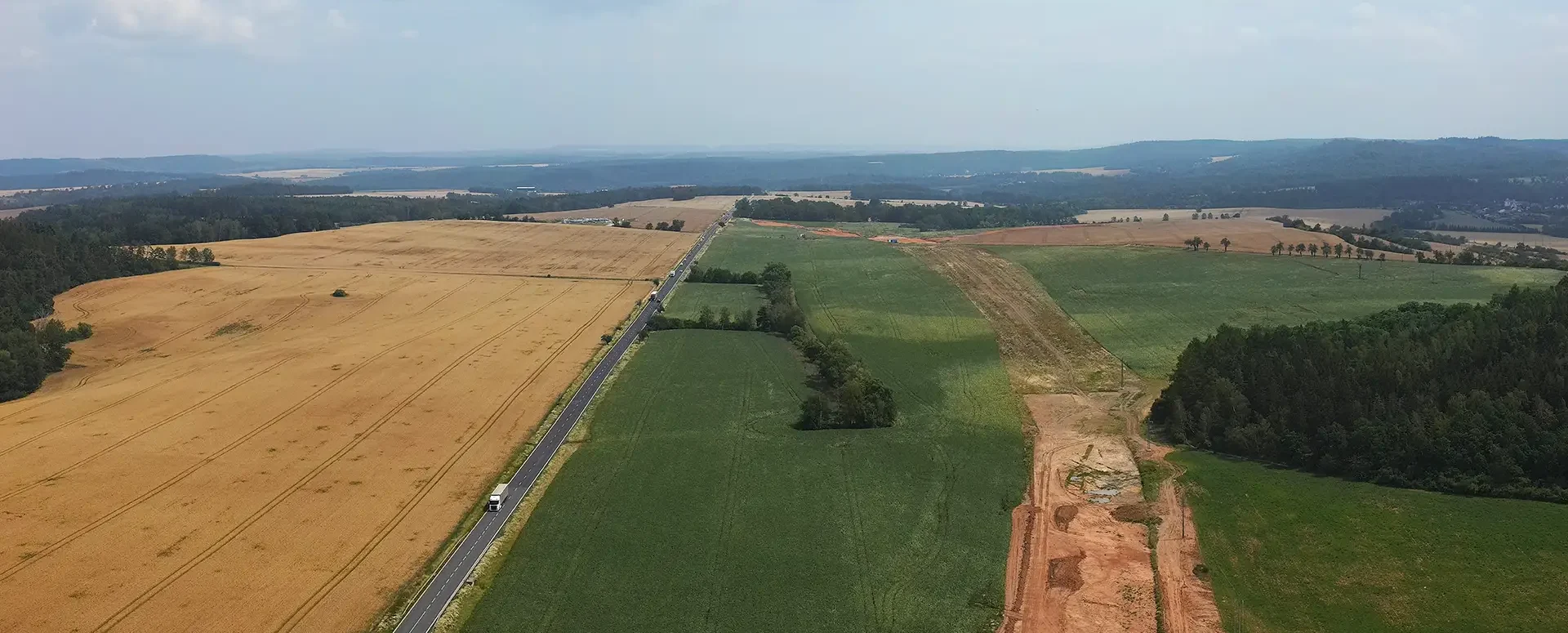
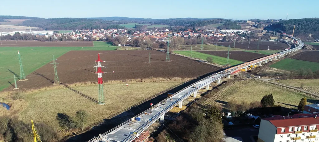
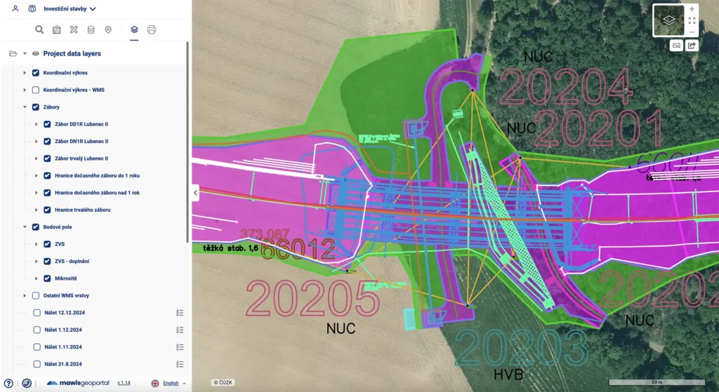
Practical example: the D6 motorway
During the completion of the D6 motorway, MawisGeoportal was deployed as a transfer point for the results of surveyors’ work in support of the construction as a communication channel between the investor, designer, construction manager and surveyor. This allows construction personnel to have easy access to the current orthophotographs of the construction site in particular, and can easily compare with the projected positions of temporary and permanent construction features.
📄 More in the example of use: monitoring of construction progress – linear construction D6.
Why switch to Mawis?
If you’re still printing drawings, emailing them, or intricately transferring tasks between different team members, it’s time to change that. MawisGeoportal is a modern and user-friendly solution that can instantly improve your daily work.
Wondering what a portal could look like for your building? Take a look at a specific example from the D6 motorway or contact us – we’d be happy to show you how to get started.
Free Geoportal for 30 days
Do you need any advice? We are ready by email and phone.
Ladislav Bláha +420 724 863 431 | ladislav.blaha@hrdlicka.cz
More articles like this

Geoportal Expression Support Module
The Comment Support module is a new feature that allows users to efficiently process requests for comments on the existence of networks.
Introducing the new Expression Support module!
We have enhanced the Comment Support module to allow you to send comments to the applicant directly from the Geoportal application.
Passport on demand - create your own map layer
The Geoportal now offers customized passports - create your own custom map layer just for you.