MawisTools
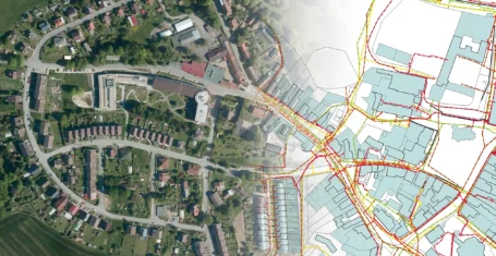
Finding affected parcels
The tool projects the DGN/DWG/SHP inputs to the land registry. It generates Excel files with data on parcels, buildings or units, including a link to the ČÚZK application for accessing information on owners. It also creates DGN drawings of the affected and adjacent parcels with their geometries.
Finding affected parcels is a tool for designers and engineering staff in the preparation of utility design, linear construction drawings. It is useful during engineering construction and property settlement related to easements.
Land registry data from RÚIAN is updated daily. The tool prepares an up-to-date extract.
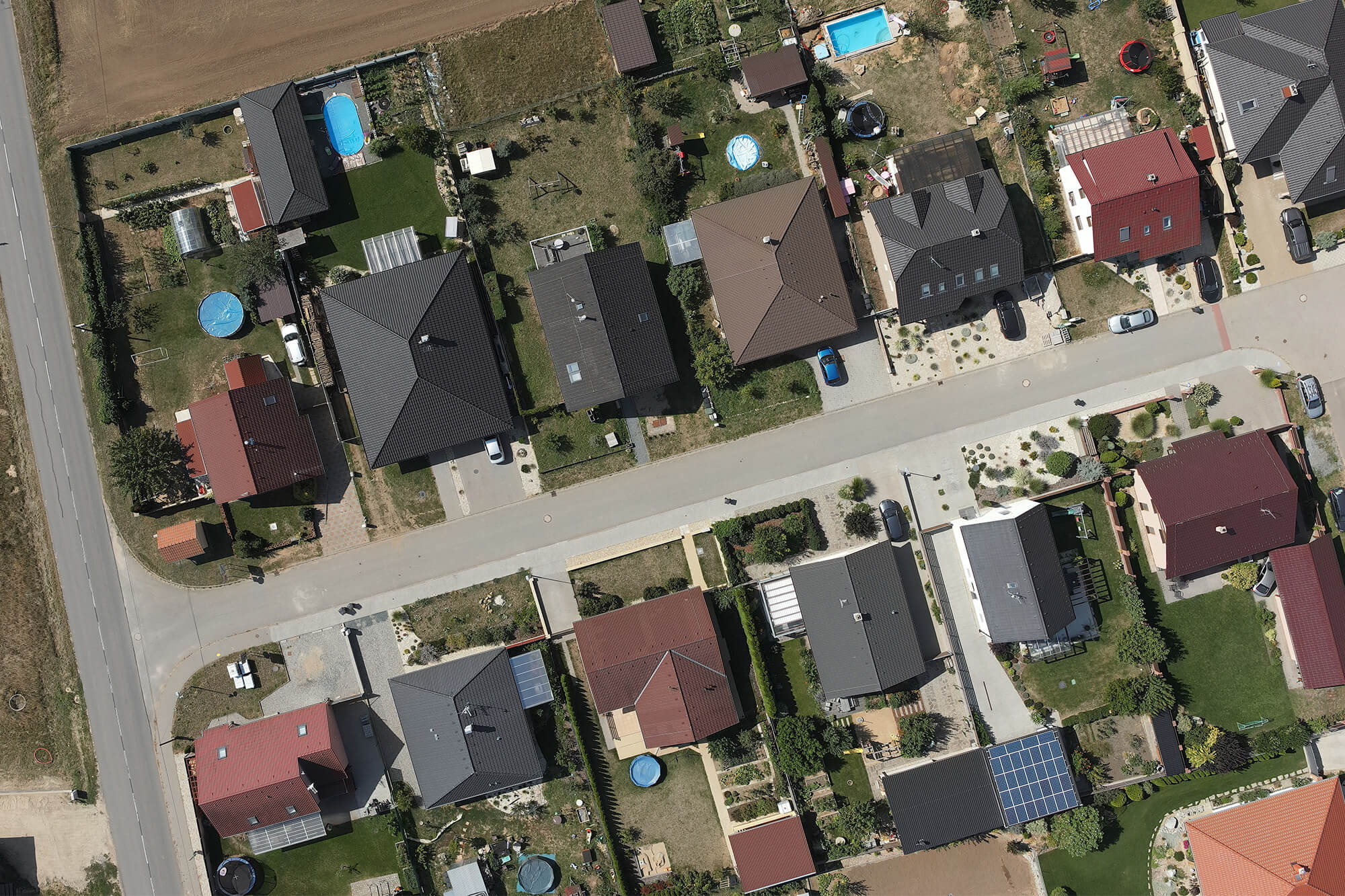
Input data – what it should look like
The tool works with the complete content of input data in the permitted DGN V8, DWG and SHP formats. Keep only the elements in the drawings for which you want to find the affected parcels and their neighbours in the land register. In the case of DGN and DWG drawings, ignore elements of the text and dimension types.
The extent of the input data must not exceed the area limit of 10 km2.
Output data – what I actually get
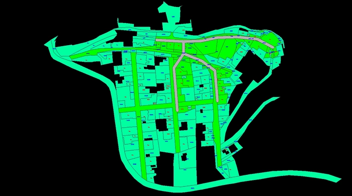
Drawings in DGN V8
- Affected and adjacent parcels containing their geometry and parcel numbers;
- Envelope zone if the user has selected size > 0. Extended area around features;
- Cadastral area containing geometries of affected cadastral areas including name and number.
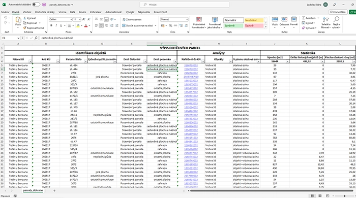
Excel spreadsheets
- Parcels concerned with identification of parcels, analyses performed with objects and computational statistics;
- Neighbouring parcels with identification of parcels, analyses performed with objects and computational statistics.
Report in Text
- Summary of the analysis with information on the retrieved elements, affected parcels and cadastral areas.
30 day demo
Fill out the form and we'll send you access to the MawisTools library for FREE for 30 days so you can try out the geomatics tools.