MawisTools
Convert JVF DTM to DGN/SHP
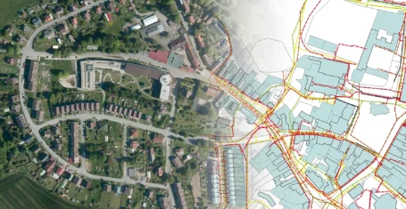
The converter allows you to create a drawing in DGN/SHP formatfrom JVF DTM data, which you can view in your favourite application without further manual modifications.
The converter allows you to create a drawing from JVF DTM version 1.4.3 data in DGN V8 or ESRI SHP formats of your choice, which you can display in your favorite application without further manual modifications.
How does it work?
- Upload files – simply insert a JVF file (or a ZIP file with multiple files)
- Select the output format – choose whether you want to convert to DGN V8 or ESRI SHP
- Enter your email – once the conversion is complete, you will receive an email with a link to download the output files
What do you get?
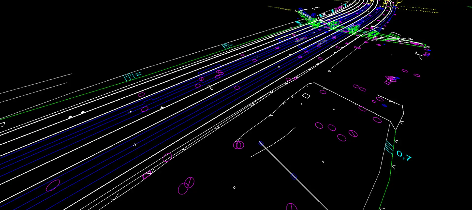
- A CAD drawing in DGN V8 – elements are automatically divided into layers according to the IS-DMVS (Information System Digital Map of Public Administration) standard
- GIS data in ESRI SHP – structure corresponds to JVF, attributes are optimized for this format (corresponds to the digital technical map standard)
- Processing report – includes a text file with the operation protocol
30 day demo
Fill out the form and we'll send you access to the MawisTools library for FREE for 30 days so you can try out the geomatics tools.