MawisPhoto is changing the way utilities are documented
The pilot project for EG.D at a substation shows the potential for safe and efficient 3D data acquisition in the field, also for LV and HV.
Thanks to new technologies, the digitisation of construction documentation is taking on a whole new dimension. HRDLIČKA spol. s r.o., in cooperation with EG.D, a.s., has tested a solution that enables fast and accurate 3D documentation of excavations and cable routes to be taken directly from the field – using a mobile phone. The technology, called MawisPhoto, is designed not only for surveyors and engineers, but also for network managers, designers and investors.
What is MawisPhoto?
Imagine a service that serves to facilitate and speed up the documentation of buildings using a mobile phone in accuracy class 3. The 3D models created in this way allow the inspection of the building, materials and construction, as well as the measurement of cubature, excavation depth, distance and length.
The output of MawisPhoto can be: a colored point cloud, a 3D model, a BIM, an orthophoto or a digital surface model and more.
How did the project of the client EG.D. develop?
The first testing was conducted at the low voltage (LV) level, where it proved successful to take a picture of the trench with a regular mobile phone with an app installed. This method enabled the creation of an accurate 3D model of the line buried in the ground – with outputs that are fully compatible with GIS systems and available online.
In order to ensure the accuracy of the resulting model, the excavation was photographed by a trained worker exactly according to the set instructions (filming the object with a mobile phone in landscape, continuously without interrupting the video, the object had to be walked around using the insertion points or a two-meter).
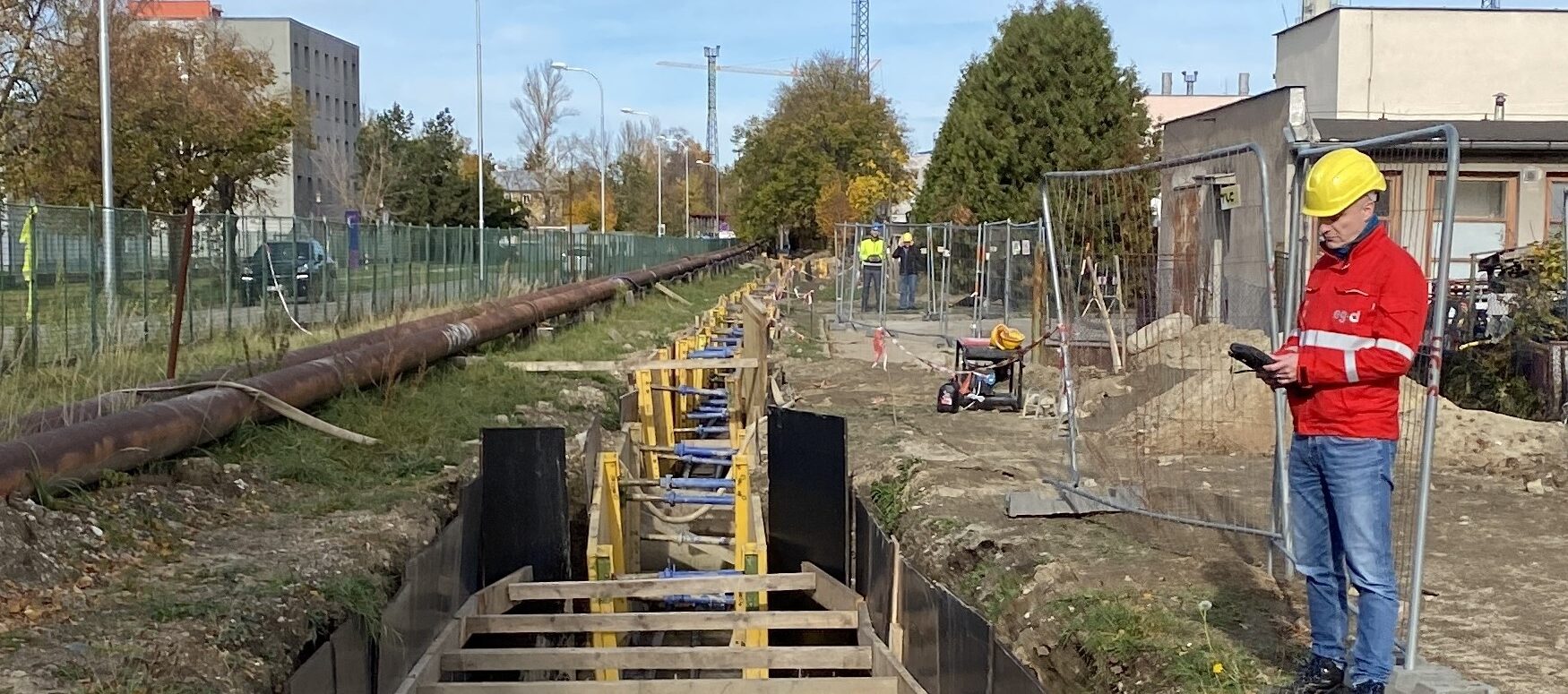
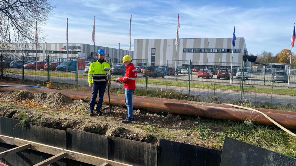
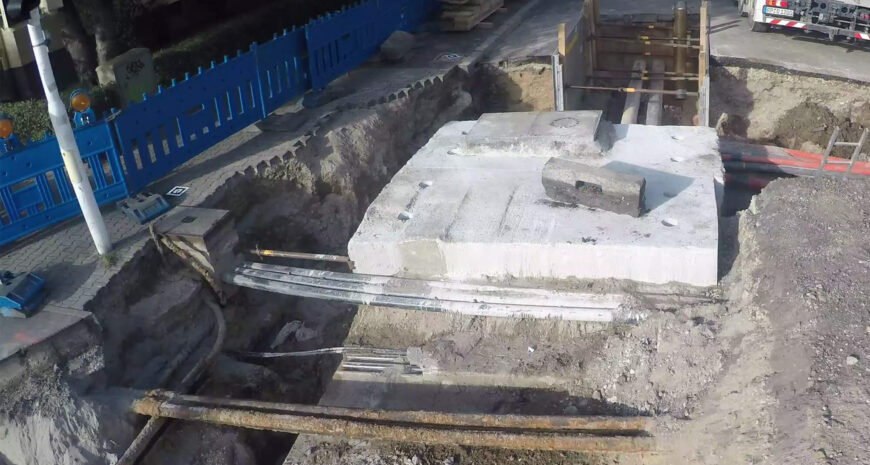
Subsequently, EG.D’s GIS Documentation Management team took the use of MawisPhoto to a higher level – very high voltage (VVN). The construction of the new 110/22kV České Budějovice Střed transformer station was very appropriately chosen as a test polygon. The focus was specifically on the 110kV feeder cable line on which data collection was taking place.

Why was a drone used to collect the data?
In the past, collection was done by mobile phone. However, in a follow-up project, the management decided to deploy a drone – mainly due to the length of the route, safety and verification of data quality from a higher altitude. The benefits of deploying a drone were clear:
- Effectiveness: the documented section measured approximately 170 m. The drone managed to collect all the necessary data in 15 minutes. In contrast, manual collection with a mobile phone would take about 1.5 hours.
- Safety: mobile collection requires the operator to move along the excavation – from both sides, often in difficult terrain. Using a drone eliminates these risks.
- Data quality: despite the higher image acquisition height, the output 3D models proved to be very accurate. The quality is only slightly lower than the mobile collection, but fully sufficient for documentation and analytical purposes.
What outputs did the contracting authority obtain and how will it proceed with them?
From the collected data, four 3D models have been created so far, showing the location of the cable lines, including the connection point at TR Mladá. The models are available online, including the possibility of direct visualization and work with the data. The collection continued in the following months and stages of the construction of the 110/22kV ČB Střed station.
“We consider the drone collection to be very successful – the data obtained is of high quality and the process itself is not only faster but also safer. We believe that this method will soon become a standard part of utility documentation,” says Ing. Libor Straka from the GIS Documentation Administration.
Learn more about MawisPhoto
Services mentioned
3D dokumentace mobilem
Other examples of use
MawisPhoto – 3D documentation of the Radeton training polygon using a mobile phone
Kamenice nad Lipou modernizes property management thanks to digital map portal
Kamenice nad Lipou digitizes asset management data using the MawisGeoportal application and combines it with cadastral data, aerial images, etc.