Frequently Asked Questions
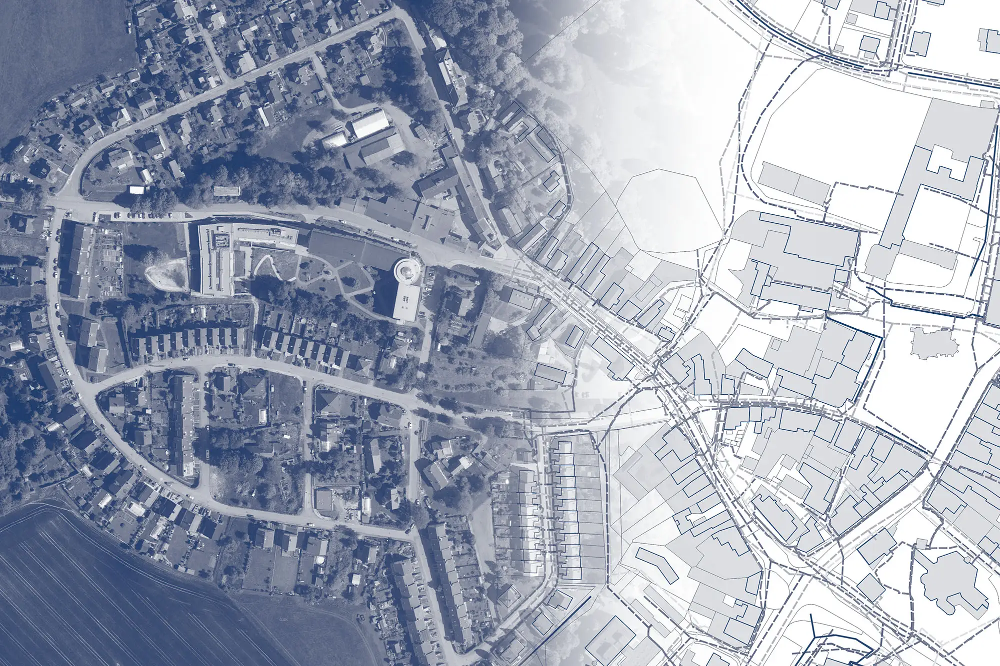
Does MawisGeoportal support communication and sharing of DTM data to IS DMVS?
Geoportal is ready to work with the IS DMVS. It stores object identifiers from the DTM region and tracks changes so that it can be used to import updates to the documentation into the IS DMVS in the JVF DTM exchange format.
How can I start using Mawis Geoportal for infrastructure management in my organization?
You can start using the demo application immediately, free of charge for 30 days. The sample project will allow you to test whether the prepared records and the Geoportal itself can help you manage documentation within your organization.
What are the costs and available packages for using MawisGeoportal?
For information about prices, deployment methods, and cooperation, please fill out the inquiry form or contact a sales representative, who will prepare a customized offer based on your needs. The price of Geoportal consists of a license fee and the price for deploying data layers, which depends on the type of record, format, and scope of lines or areas.
What type of support and services are available to MawisGeoportal users?
Geoportal is provided as part of access to the broader services offered by Hrdlička. GIS and CAD data specialists and surveyors are ready to help you prepare data tailored to your needs, including any necessary field measurements.
How can MawisGeoportal help with infrastructure management?
Geoportal will facilitate the sharing of documentation on assets and technical infrastructure networks. When a team uses a web map application and shares up-to-date documentation, its collaboration on operational tasks is more efficient. In addition to map documentation. Geoportal can also contain any other electronic documents related to individual elements.
What is MawisGeoportal and what is it used for?
Geoportal is a cloud-based mapping application for visualizing, publishing, managing, and sharing geodata and related documents. Geoportal offers a clear and simple display and editing of geodata, which can be made available to authorized users or published without restriction to the public. All this in an online environment where geodata is always up to date and immediately available.